Regions
The Southern Hills
Near Lead, in the northern Black Hills, more than 28 inches of rain and snow falls in an average year. Most of Fall River County, at the southern tip, gets about 16 to 17 inches. The north catches moist air from the northwest, a 2002 U.S. Geological Survey study explains, while the south lies mostly under drier air from the south-southeast. The south runs warmer too: the study found Hot Springs averaging 48.7°F over a year, the top of a range that falls to about 37°F near Deerfield Reservoir. That warmer, drier end of the Black Hills holds the towns of Custer, Hermosa, Pringle, Buffalo Gap, Hot Springs and Edgemont, along with Custer State Park, Wind Cave, Jewel Cave, the Mammoth Site and the Cheyenne River country.
Where the Pine Gives Way to Grass
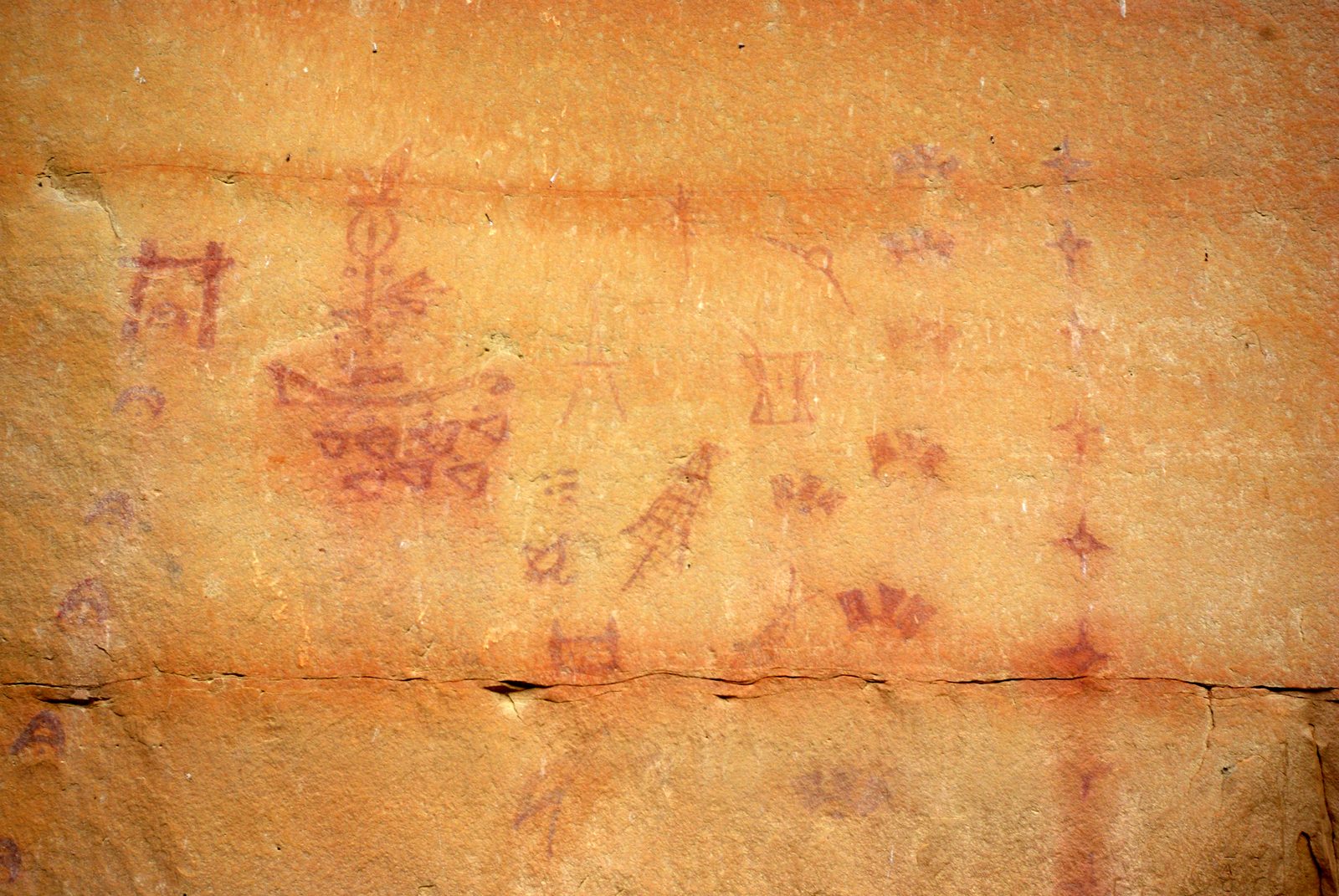
In the south the forest opens into pine and grass before the plains begin. N.H. Darton of the USGS found grass and scattered pines on the sandy soil of the Hogback near Hot Springs in 1902 (the Hogback, the sandstone outer ring, is laid out on How the Black Hills Formed). Around Edgemont, a 1904 USGS report added, the forests of the Hills gave out altogether, leaving only scattered ponderosa pine on ridges and slopes.
At Wind Cave National Park, the Park Service says, ponderosa pine holds the higher ground, and below it spreads mixed-grass prairie, where bison graze among prairie dog towns (see Prairie Dogs and Black-Footed Ferrets). Along the forest edge, it adds, visitors can see elk, deer, coyotes and many birds (see Birds and Wildflowers).
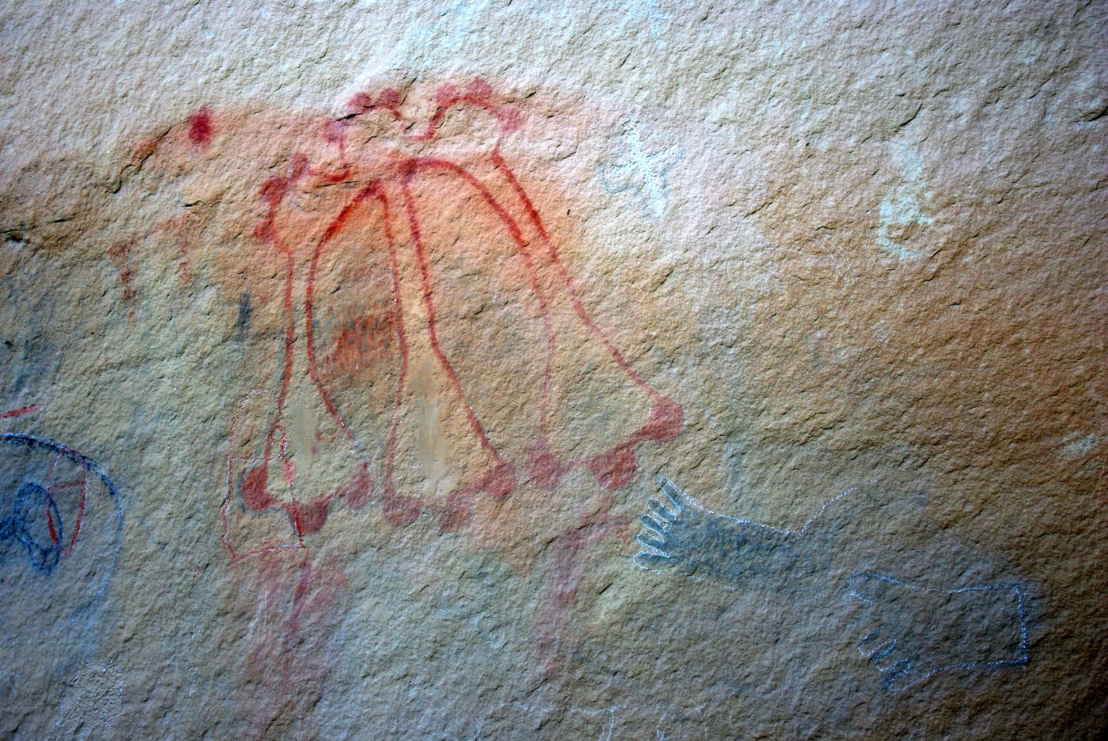
Custer State Park takes in 71,000 acres, from granite peaks down to open grassland. The land became Custer State Forest in 1912 and a state park in 1919, at Governor Peter Norbeck's urging. Riders gathered about 1,300 bison at the park's roundup on September 25, 2026; with drought thinning the grass, the park planned to cut its winter herd to about 900 (see Bison Herds, Bison Ranching and the Buffalo Roundup).
How Long Are Wind Cave and Jewel Cave?
Surveyors had mapped 220.33 miles of Jewel Cave as of September 7, 2024, and Wind Cave has about 170 miles, making them the world's fifth- and sixth-longest known caves. How they formed is told on The Limestone Plateau and the Caves.
Lakota tradition holds that the people emerged into this world through Wind Cave. The Park Service shares one telling, from Wilmer Mesteth, an Oglala Lakota tribal historian and spiritual leader, and notes that versions differ by band and family; the story is told on Sacred Sites: Bear Butte, Devils Tower and Wind Cave. Congress made Wind Cave a national park on January 9, 1903, the first anywhere created to protect a cave.
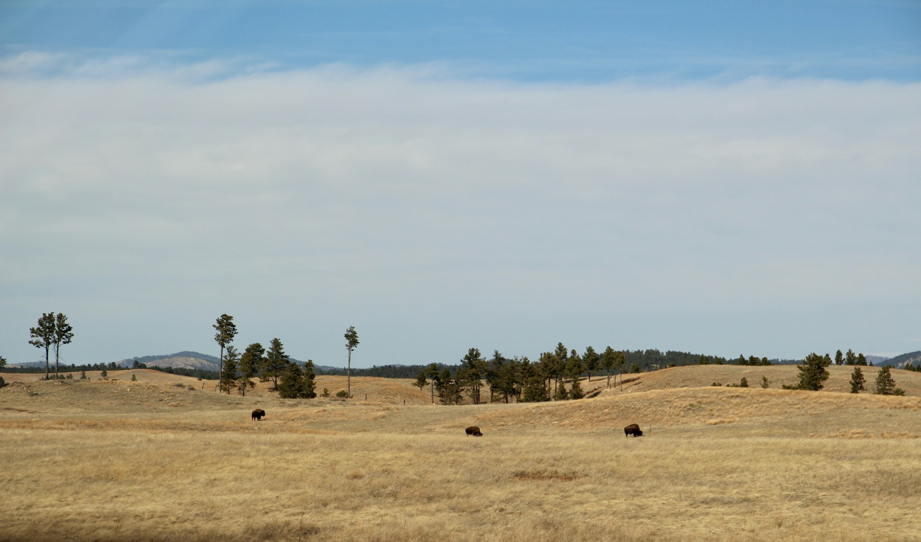
Jewel Cave National Monument lies some 13 miles west of Custer, and President Theodore Roosevelt proclaimed it on February 7, 1908. The Jasper Fire started just west of the cave on August 24, 2000, and burned 83,508 acres, about 90 percent of the monument among them, making it the largest wildfire on record in the Black Hills. Along the monument's trails, trees killed by the fire still stand while the forest grows back (more in The Ponderosa Forest, Fire and the Pine Beetle).
Gold Camps and Railroad Towns
Custer, with 1,919 people in 2020, grew out of the gold rush. Prospectors with the Army's 1874 expedition reported gold along French Creek, near the present town, in late July and early August, and the Gordon Party of miners reached the creek that December (see The Custer Expedition of 1874 and The Black Hills Gold Rush). The gold drew miners onto land reserved to the tribes by the 1868 treaty, and the 1877 Act took the Hills without the consent the treaty required (The 1876 War and the Taking of the Hills).
Luther Standing Bear, the Lakota author, recalled in 1928 that game came into the Hills through Buffalo Gap to escape winter storms, and that his people came the same way to spend the cold months there (more in Hé Sápa: Why the Hills Matter). The town of Buffalo Gap, with 131 people in 2020, grew from a stop on the Sidney–Deadwood stage road during the gold rush; its townsite was laid out once the railroad arrived in 1885, and by 1900 it ranked among the region's busiest places to load cattle.
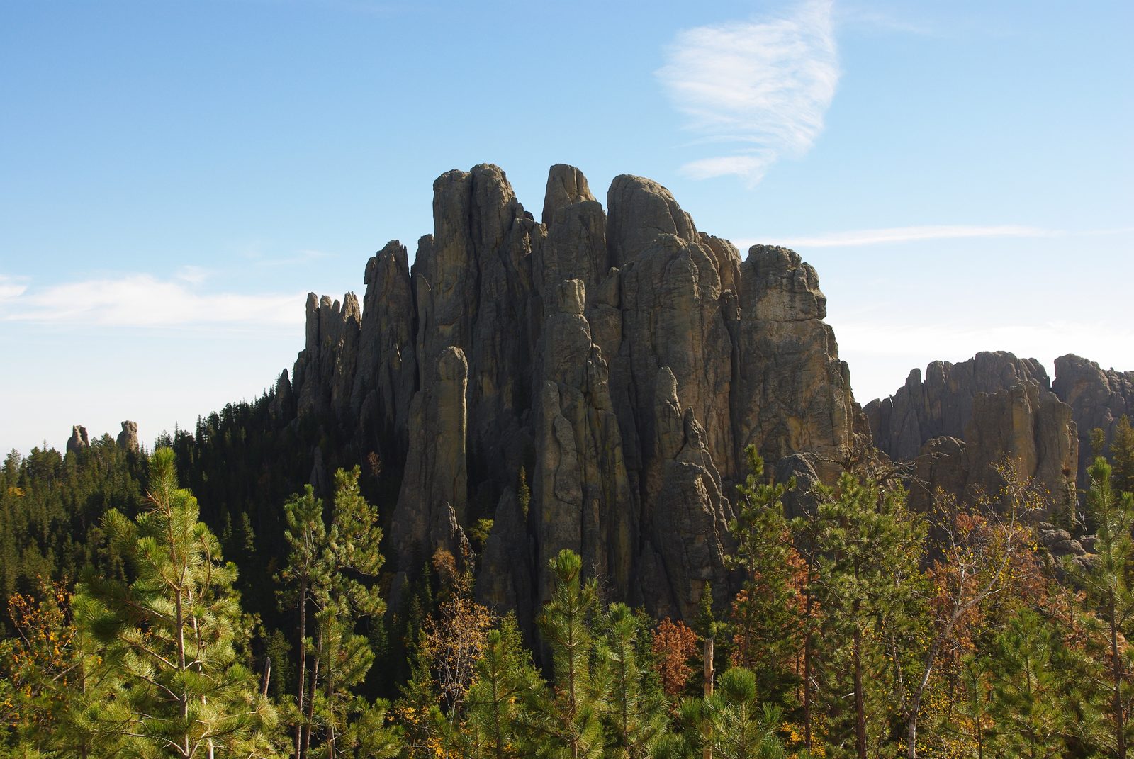
Hermosa, on Highway 79 south of Rapid City, dates from 1886, the year a railroad survey crew arrived; the name is Spanish for "beautiful," and 382 people lived there in 2020. Stagecoaches and Railroads tells how the rails reached the Hills. Pringle, with 109 people in 2020, was once Point of Rocks; a Game, Fish and Parks marker at its trailhead recalls lime mining and a kiln a mile south on the old rail grade.
Warm Water, Mammoths and the Cheyenne River
Hot Springs, with 3,395 people in 2020, sits in the Red Valley; in 1902 Darton found most of the town in the deep gorge of the Fall River. That river runs almost entirely on artesian spring water, the 2002 USGS study found, drawn mostly from the Madison aquifer. The town began in the 1880s as a resort around its warm mineral springs, the Park Service says, and Battle Mountain Sanitarium, built of local pink sandstone to treat veterans, took its first patient in 1907 (see Warm Water: The Springs, the Town and the Sanitarium).
In June 1974, earthmoving for new homes in Hot Springs broke into a buried sinkhole, once a pool of warm spring water, and turned up mammoth bones. More than 60 mammoths have been found in it since, and a 2026 study dates the bone bed to roughly 200,000 years ago (see Fossils and the Mammoth Site).
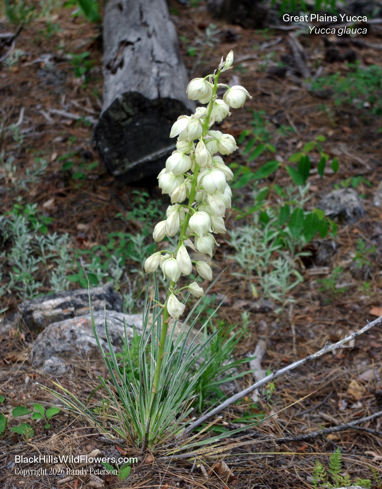
The Cheyenne River crosses the Hogback at the south end of the Hills, and southeast of Hot Springs the Bureau of Reclamation dammed it for irrigation in 1949, forming Angostura Reservoir. Out on the plains, the Forest Service manages almost 600,000 acres as the Buffalo Gap National Grassland, from ranger districts based in Hot Springs and Wall. Its eastern side is described on The Badlands and Wall.
Edgemont grew up in the summer of 1890 around a Burlington rail terminal just south of the Cheyenne River; its name stands for "edge of the mountains," a state marker explains, and 725 people lived there in 2020. Uranium turned up about 8 miles north of town, in Craven Canyon, in June 1951. Edgemont's mill handled uranium ore from 1956 to 1972; its waste now lies in a disposal cell in the Energy Department's care (Uranium, the Cold War and the Missiles). Edgemont is also the south end of the George S. Mickelson Trail, which runs 109 miles north to Deadwood on a former rail line.
Connected
- Custer, South DakotaThe French Creek town where the 1874 expedition reported gold.
- Hot Springs, South DakotaThe spring-fed Fall River, Battle Mountain Sanitarium and the Mammoth Site.
- Edgemont, South DakotaThe Burlington's 1890 terminal town and its uranium years.
- Hermosa, South DakotaA railroad town of 1886 south of Rapid City.
- Pringle, South DakotaOnce Point of Rocks, with lime works on the old rail line.
- Buffalo Gap, South DakotaThe passage into the Hills, later a stage stop and cattle-shipping town.
- Custer State ParkGranite peaks, rolling grassland and the bison herd.
- Wind Cave National ParkPrairie and pine above one of the longest caves in the world.
- Jewel Cave National MonumentThe fifth-longest known cave, under a forest regrowing from the Jasper Fire.
- Birds and WildflowersWhat flowers and nests along the forest and prairie edge.
- How the Black Hills FormedThe four rings of rock, from the granite core out to the Hogback.
- The Limestone Plateau and the CavesHow Wind Cave and Jewel Cave formed, and the aquifer behind the warm springs.
Sources
- Hydrology of the Black Hills Area, South Dakota (Water-Resources Investigations Report 02-4094), by Daniel G. Driscoll, Janet M. Carter, Joyce E. Williamson and Larry D. Putnam. U.S. Geological Survey, 2002.
- Description of the Oelrichs Quadrangle (Geologic Atlas Folio 85), by N.H. Darton. U.S. Geological Survey, 1902.
- Description of the Edgemont Quadrangle (Geologic Atlas Folio 108), by N.H. Darton and W.S. Tangier Smith. U.S. Geological Survey, 1904 (text dated April 1903).
- Ecosystems. National Park Service, Wind Cave National Park, 2023.
- Prairies and Grasslands. National Park Service, Wind Cave National Park, 2024.
- Custer State Park. South Dakota Game, Fish and Parks.
- Custer State Park History. South Dakota Game, Fish and Parks.
- A Century of Wildlife Recovery in Custer State Park, by Cody D. Ewert. South Dakota Historical Society Press, 2019.
- Buffalo Roundup and Arts Festival. South Dakota Game, Fish and Parks, 2026.
- Drought Forcing Custer State Park To Auction Off At Least 600 South Dakota Bison, by Kate Meadows. Cowboy State Daily, 2026.
- Cave Exploration. National Park Service, Jewel Cave National Monument.
- Wind Cave National Park now ranks sixth longest in the world, by Ryan Bozer. South Dakota Public Broadcasting, 2024.
- The Lakota Emergence Story, as told by Wilmer Mesteth and retold by Sina Bear Eagle. National Park Service, Wind Cave National Park, 2024.
- Places. National Park Service, Wind Cave National Park.
- Wind Cave National Park (photograph and description). U.S. Geological Survey, Geology and Ecology of National Parks, 2009.
- Directions. National Park Service, Jewel Cave National Monument.
- Becoming a Monument. National Park Service, Jewel Cave National Monument.
- Fire. National Park Service, Jewel Cave National Monument.
- Report of a Reconnaissance of the Black Hills of Dakota, Made in the Summer of 1874, by William Ludlow. Engineer Department, U.S. Army, 1875 (Internet Archive text).
- My People, the Sioux, by Luther Standing Bear. 1928 (Internet Archive).
- Buffalo Gap. SAH Archipedia, Society of Architectural Historians.
- Hermosa Masonic Lodge, National Register of Historic Places nomination, by Chris B. Nelson. South Dakota State Historic Preservation Office, 2008.
- Point of Rocks (marker text). South Dakota Game, Fish and Parks, at the Pringle trailhead of the Mickelson Trail; transcribed by the Historical Marker Database.
- South Dakota Historical Markers, numerical master list (markers 448, 505 and 680). South Dakota State Historical Society.
- Battle Mountain Sanitarium, Hot Springs, South Dakota. National Park Service, 2024.
- New Research Re-Dates the Mammoth Site. The Mammoth Site of Hot Springs, 2026.
- Angostura Recreation Area. South Dakota Game, Fish and Parks.
- Buffalo Gap National Grassland. USDA Forest Service, Nebraska National Forests and Grasslands.
- Uranium Deposits in Fall River County, South Dakota (Bulletin 1009-G), by Henry Bell and W.E. Bales. U.S. Geological Survey, 1955.
- The Carnotite Prospects of the Craven Canyon Area, Fall River County, South Dakota (Circular 175), by L.R. Page and J.A. Redden. U.S. Geological Survey, 1952.
- Edgemont, South Dakota, Disposal Site Fact Sheet. U.S. Department of Energy, Office of Legacy Management, 2026.
- George S. Mickelson Trail. South Dakota Game, Fish and Parks.
- TIGERweb: 2020 Census incorporated places. U.S. Census Bureau.
Last reviewed: