Towns
Custer, South Dakota
In August 1908 Douglas B. Sterrett of the U.S. Geological Survey made the rounds of the mica diggings around Custer and described more than a dozen mines and prospects, the closest less than 2 miles from town. Gold had drawn the first miners to French Creek 34 years before, but the coarse granite around Custer, South Dakota, kept people digging for mica, feldspar and beryl into the mid-1950s. Custer, the seat of Custer County in the Southern Hills, had 1,919 people in the 2020 census. It began with gold reported on treaty land, lived on its mines and its courthouse, and now sits among a state park, a national monument and a 109-mile trail.
Pegmatite Country at the South End of the Granite
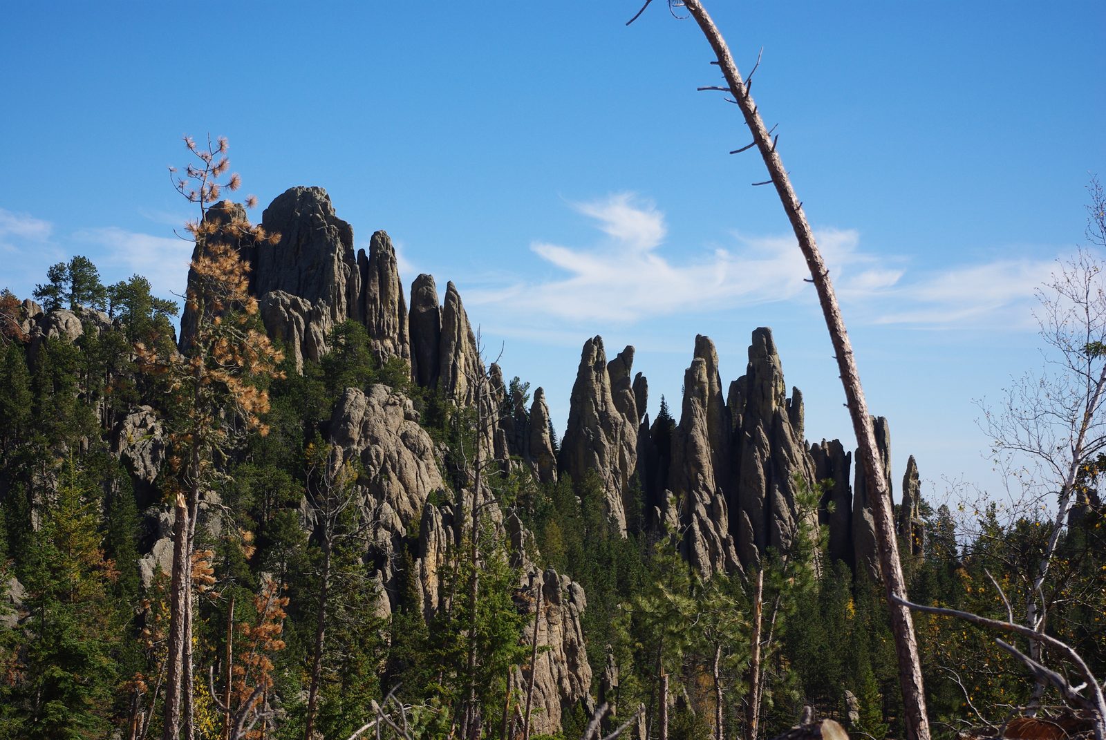
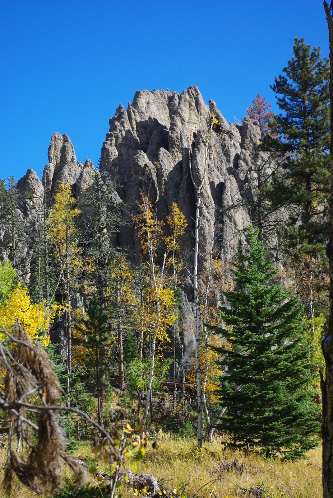
Custer stands in the crystalline core, the innermost ring of rock (see How the Black Hills Formed). Its rocks, about 1.7 billion to 2.5 billion years old, are largely mica schist and quartzite, sea-floor mud and sand changed by heat and pressure without melting. Into them rose the Harney Peak Granite, about 1.7 billion years old, which forms Black Elk Peak (called Harney Peak until 2016). The granite's main body spreads over some 40 square miles between Custer and Keystone, and the town sits at its southern end (see The Granite Core).
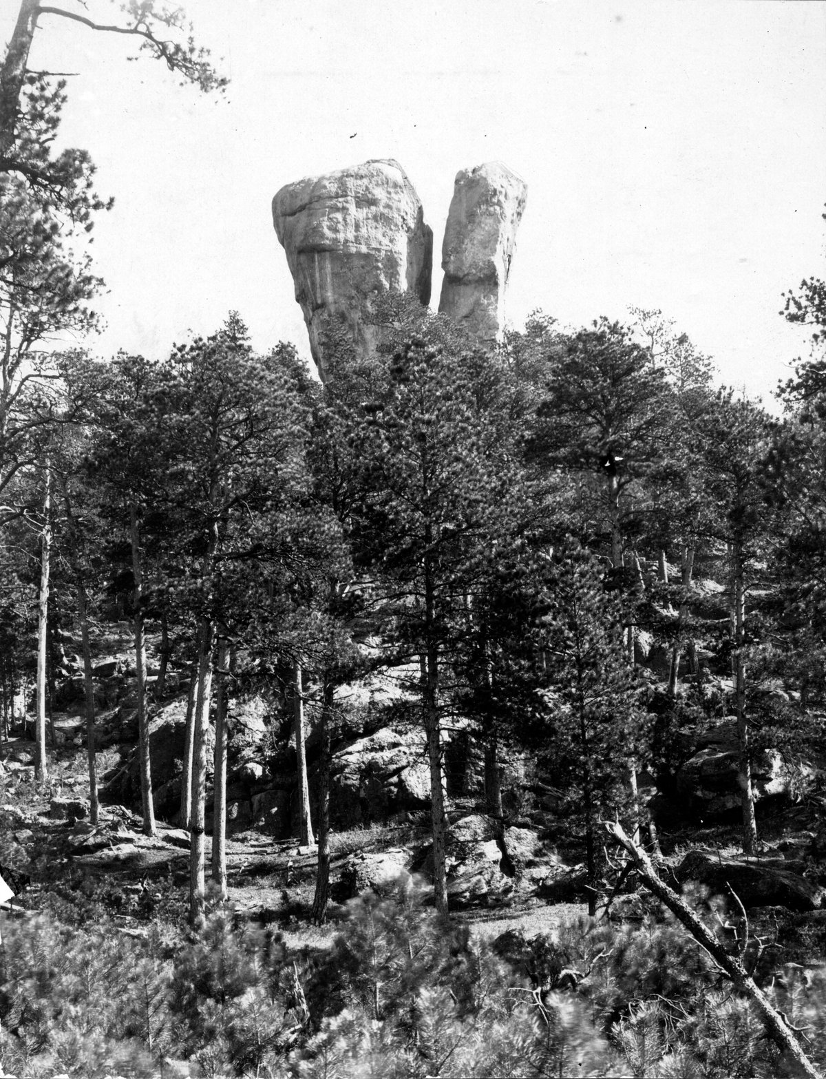
The mines came out of pegmatite, an extremely coarse granite. The country south of Custer, along the granite's southwest edge, holds the densest scatter of pegmatite bodies in the Hills. Only a small share are zoned, their minerals sorted into nested layers, and those few held all the deposits worth mining, a 1959 USGS report says. Pale knobs and ledges are granite or pegmatite, the latter marked by outsized grains of feldspar, quartz and sheet mica.
French Creek runs through town and on into Custer State Park, where it has cut a gorge. Its gravels held the placer gold, loose flakes worn from the rock, that started the town.
Gold Reported on Treaty Land
The 1868 Fort Laramie Treaty set apart a reservation that took in the Black Hills, Hé Sápa, for the tribes' "absolute and undisturbed use and occupation," and barred all but named people and authorized officials from it. In 2023 Ryman LeBeau, chairman of the Cheyenne River Sioux Tribe, called Lt. Col. George A. Custer's 1874 expedition "secret" in testimony to a Senate committee, and said the reporters Custer invited along started a gold rush. The Lakota held that the expedition was itself a breach of the treaty, the Supreme Court noted in 1980. The column reached French Creek, close to where the town now stands, on July 30, 1874, and gold was reported there in late July and early August, though the Army's record names no single day of discovery (see The Custer Expedition of 1874).
The Gordon Party left Sioux City on October 6, 1874, reached French Creek on December 23, and built a log stockade about 80 feet on a side at Custer's old camp; a replica stands by Stockade Lake. Capt. John Mix's cavalry led the party out in April 1875 (see The Black Hills Gold Rush). Like every miner who followed, the party was on reservation land, and the Hills were later taken from the tribes without the consent the treaty required (see The 1876 War and the Taking of the Hills).
When Was Custer Founded?
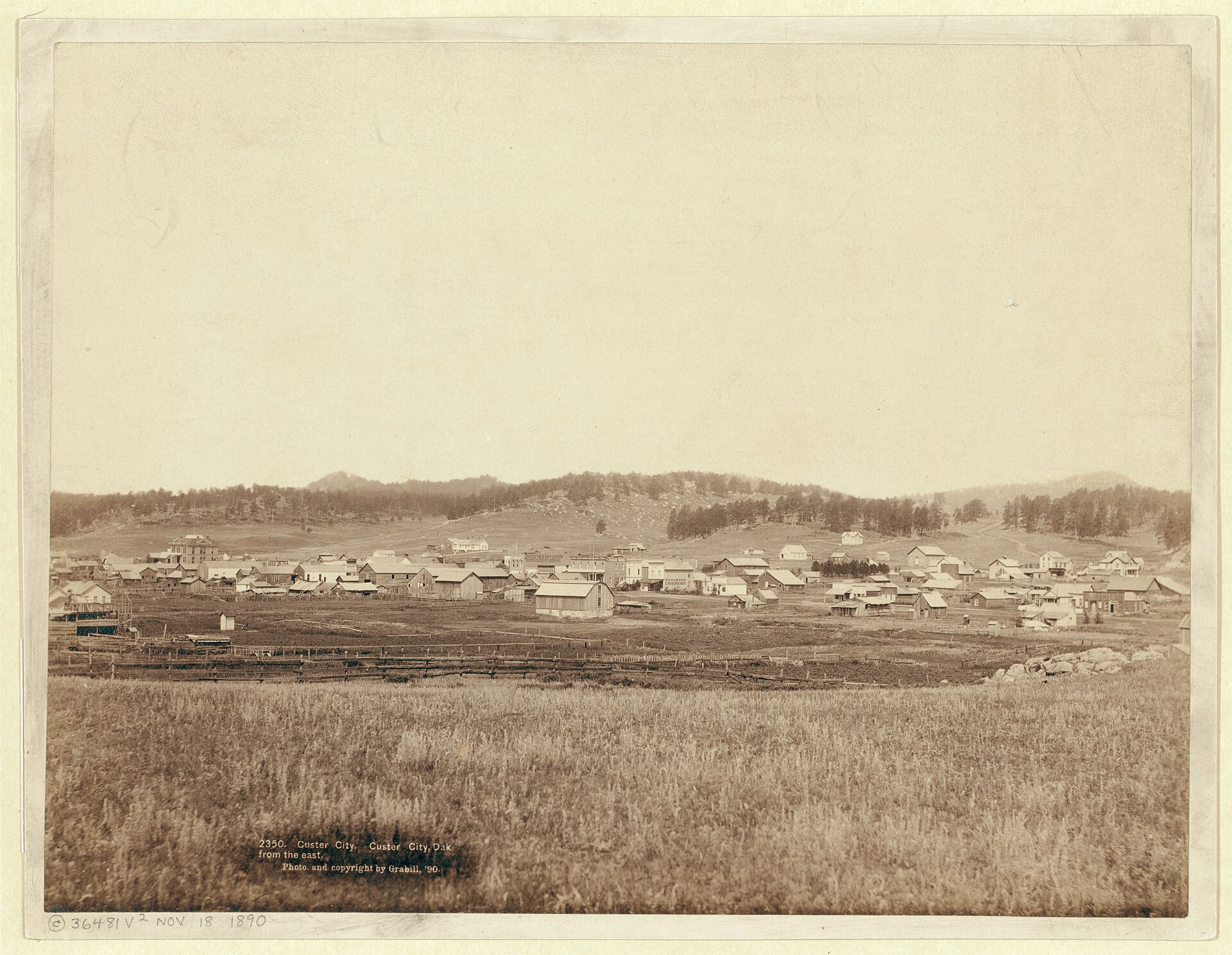
Custer was laid out on August 10, 1875, by miners whom Gen. George Crook had ordered out of the Hills, the historian Watson Parker found. Crook asked them to hold a meeting before they left; they met that day at Custer City, platted the town and shared out its lots. Lt. Col. Richard Dodge, commanding the escort for that summer's government survey, wrote that the valley was empty by sunrise on August 11.
Many came back. By mid-January 1876, Parker found, about a thousand people lived in Custer, more than twice as many as in Hill City, 14 miles north. In spring the strikes in Deadwood Gulch pulled the miners north (see The Black Hills Gold Rush), and that summer a visiting correspondent reckoned fewer than 25 people were left in town. By fall it was growing again.
The name honors the expedition's commander. Until the miners drew up the town on birch bark, with Crook's blessing, the settlement had gone by Stonewall, Parker wrote. A local account on the town's visitor website says a vote, reportedly close, settled the name: Union veterans backed Custer City, and Confederate veterans backed Stonewall City, for Gen. Thomas J. "Stonewall" Jackson. The same website calls Custer City "the oldest established white community in the Black Hills." Parker, who thought such firsts hard to assign, counted Harney City, a townsite the Gordon Party marked out by its stockade, as the first town in the Hills, and Custer as the first of the central Hills towns. Its lots were laid out months before Hill City's plat of February 1876 or Deadwood's townsite of August 1876, though it emptied in August 1875 and nearly again in the summer of 1876.
A County Seat With Mica and Beryl Mines
The Dakota territorial legislature created Custer County in 1875, and an 1881 survey made Custer its seat, says SAH Archipedia, the Society of Architectural Historians' online encyclopedia. The red brick courthouse went up that year for $12,000. The county seat gave the town "a reliable economic base," its 1972 National Register nomination says, and on court days miners, stockmen and farmers crowded into town. A new courthouse a block south replaced it in 1973, and since 1975 the 1881 building has held the Custer County Historical Society's museum.
Sheet mica first came out of the Hills in 1879, from the McMackin, or Crown, mine at Custer, about 2½ miles northwest of town by Sterrett's count. In 1907, he reported, South Dakota produced nearly a third of the nation's mica and ranked second among the states. In the Fourmile area, about 2 miles southwest, potash feldspar outvalued every other mineral, a 1953 USGS report found, and the Big Spar No. 1 was worked for feldspar off and on from 1943 to 1948. About 4½ miles south of town, the Beecher No. 3–Black Diamond pegmatite yielded 342 tons of concentrate of beryl, a beryllium mineral, from 1952 to 1955 (see Gold and the Other Minerals).
The 1874 column brought about 500 beef cattle with it, a state marker at its French Creek camp records. A 1990 National Register study of ranches in the county's southwest corner found that in the early 1900s their nearest towns were Newcastle, Wyoming, and Dewey; Custer lay too far off over poor roads. The Black Hills National Forest's Hell Canyon Ranger District keeps an office in Custer; logging on the forest is told on Logging the Ponderosa.
A Park, a Cave and a Trail Around Town
In 1913 South Dakota made a game preserve of state forest land lying between the town and Wind Cave National Park, and in 1919 the preserve became Custer State Park, which now covers 71,000 acres. Hermosa is on the park's plains side.
The George S. Mickelson Trail, 109 miles from Edgemont to Deadwood on a former rail line, passes through Custer at the Harbach Park trailhead, milepost 44.5, and near town a 3.2-mile spur leads off to Stockade Lake in the state park. Southbound, the trail reaches Pringle at milepost 32.1.
Jewel Cave National Monument is about 13 miles west of town on US 16. Its written record begins in Custer, where Frank and Albert Michaud filed their Jewel Tunnel mining claim on October 31, 1900. Herb and Jan Conn, climbers who had settled near Custer, began exploring the cave in 1959, and by 1979 they had mapped more than 62 miles of its passages.
Between Hill City and Custer stands Crazy Horse Memorial, begun in 1948 after Henry Standing Bear, a Brulé Lakota, invited Korczak Ziolkowski to carve Crazy Horse (Tȟašúŋke Witkó), the Oglala Lakota leader; Lakota people, Crazy Horse's own relatives among them, disagree about it (see Mount Rushmore and Crazy Horse Memorial).
French Creek even went up Black Elk Peak. Men from Camp Doran, a Civilian Conservation Corps camp about 5 miles east of Custer, began the stone fire lookout on the summit in April 1938. Its stones, about 7,500 by the South Dakota Historical Society Foundation's count, were gathered by hand from French Creek and the country around it.
Connected
- The Southern HillsThe warmer, drier end of the Hills, which holds Custer and its neighbors.
- The Granite Core: Black Elk Peak and the NeedlesThe Harney Peak Granite and the pegmatites crowded south of town.
- The Custer Expedition of 1874The Army column that reported gold on French Creek near the town site.
- The Black Hills Gold RushThe Gordon Party, Custer City's 1875 founding and the run north to Deadwood.
- The 1876 War and the Taking of the HillsHow the treaty land the miners entered was taken from the tribes.
- Custer State ParkThe park French Creek flows into, with the stockade replica at Stockade Lake.
- Jewel Cave National MonumentThe cave 13 miles west, claimed at Custer in 1900.
- The George S. Mickelson TrailThe rail-line trail through town, with its spur to Stockade Lake.
Sources
- Mica Deposits of South Dakota (Bulletin 380-N) (Douglas B. Sterrett). U.S. Geological Survey, 1909.
- Geolex: Harney Peak Granite, significant publications. U.S. Geological Survey, National Geologic Map Database.
- Geology of the Harney Peak Granite, Black Hills, South Dakota (Open-File Report 82-481). U.S. Geological Survey, 1982.
- Beryl Deposits of the Beecher No. 3–Black Diamond Pegmatite, Custer County, South Dakota (Bulletin 1072-I) (Jack A. Redden). U.S. Geological Survey, 1959.
- Treaty of Fort Laramie (1868), transcript. National Archives.
- Testimony of Ryman LeBeau, Chairman, Cheyenne River Sioux Tribe, on S. 2088, the Wounded Knee Memorial and Sacred Site Act. U.S. Senate Committee on Indian Affairs, 2023.
- United States v. Sioux Nation of Indians, 448 U.S. 371. Supreme Court of the United States, 1980 (Legal Information Institute, Cornell Law School).
- The Report of Captain John Mix of a Scout to the Black Hills, March–April 1875 (Watson Parker, editor). South Dakota History 7, no. 4, South Dakota State Historical Society, 1977.
- The Black Hills Gold Rush, 1874–1879 (Watson Parker, doctoral dissertation). University of Oklahoma, 1965.
- Exploring the Black Hills, 1855–1875: Reports of the Government Expeditions; The Scientists' Search for Gold, 1875: Walter P. Jenney and Henry Newton (James D. McLaird and Lesta V. Turchen). South Dakota History 4, no. 4, South Dakota State Historical Society, 1974.
- Custer City History. Custer visitor website (publisher not named on the page), 2020.
- Custer County Courthouse Museum (Michelle L. Dennis). SAH Archipedia, Society of Architectural Historians and University of Virginia Press.
- Custer County Courthouse, National Register of Historic Places Inventory–Nomination Form. National Park Service, 1972.
- Pegmatite Investigations 1942–1945, Black Hills, South Dakota (Professional Paper 247, Lincoln R. Page and others). U.S. Geological Survey, 1953.
- Geology and Pegmatites of Part of the Fourmile Area, Custer County, South Dakota (Circular 245) (Andrew J. Lang Jr. and Jack A. Redden). U.S. Geological Survey, 1953.
- South Dakota State Historical Society Markers (markers 448 and 513). South Dakota State Historical Society, revised 2020.
- Ranches of Southwestern Custer County, South Dakota, National Register of Historic Places Multiple Property Documentation Form (Rebecca Sample Bernstein). National Park Service, 1990.
- Hell Canyon Ranger District, Custer office. USDA Forest Service, Black Hills National Forest.
- A Century of Wildlife Recovery in Custer State Park, by Cody D. Ewert. South Dakota Historical Society Press, 2019.
- Custer State Park (park overview). South Dakota Game, Fish and Parks, 2026.
- George S Mickelson Trail (trail guide map). South Dakota Game, Fish and Parks.
- Directions & Transportation. National Park Service, Jewel Cave National Monument.
- Discovery & Early History. National Park Service, Jewel Cave National Monument.
- Cave Explorers. National Park Service, Jewel Cave National Monument.
- Crazy Horse Memorial (Michelle L. Dennis). SAH Archipedia, Society of Architectural Historians and University of Virginia Press.
- The Work of the Civilian Conservation Corps in South Dakota. South Dakota Historical Society Foundation, 2019.
Last reviewed: