The Outdoors
The George S. Mickelson Trail
The mileposts on the George S. Mickelson Trail start at 0 in Edgemont, 3,454 feet above sea level, and count north. They pass Custer and Hill City, reach the trail’s high point at Dumont, 6,047 feet, and end at 108.8 in Deadwood. South Dakota Game, Fish and Parks manages the 109-mile trail, which follows a former rail line through the Black Hills and was finished in September 1998. Below are its grades, tunnels and trailheads, the rules and seasons for using it, the governor it is named for and the history of the line.
- Distance
- 109 miles one way, Edgemont to Deadwood; a 3.2-mile spur near Custer links it to Stockade Lake in Custer State Park (South Dakota Game, Fish and Parks)
- Elevation gain
- No total published. On the state’s trail guide the trail runs from 3,454 feet at Edgemont up to 6,047 feet at Dumont, then down to 4,580 feet at Deadwood
- Difficulty
- Mostly gentle, at grades of 4 percent or less, with some parts the state calls strenuous
- Trailhead
- Edgemont (milepost 0) and Deadwood (milepost 108.8) at the ends; the state’s 2026 trail guide maps 15 trailheads in all, plus five trail stops, though its web page gives 14 trailheads in one place and 15 in another
- Season
- Open all year; Game, Fish and Parks names no best season. Winter uses are cross-country skiing, snowshoeing and, between Deadwood and Dumont, snowmobiling
How Steep Is the Mickelson Trail?
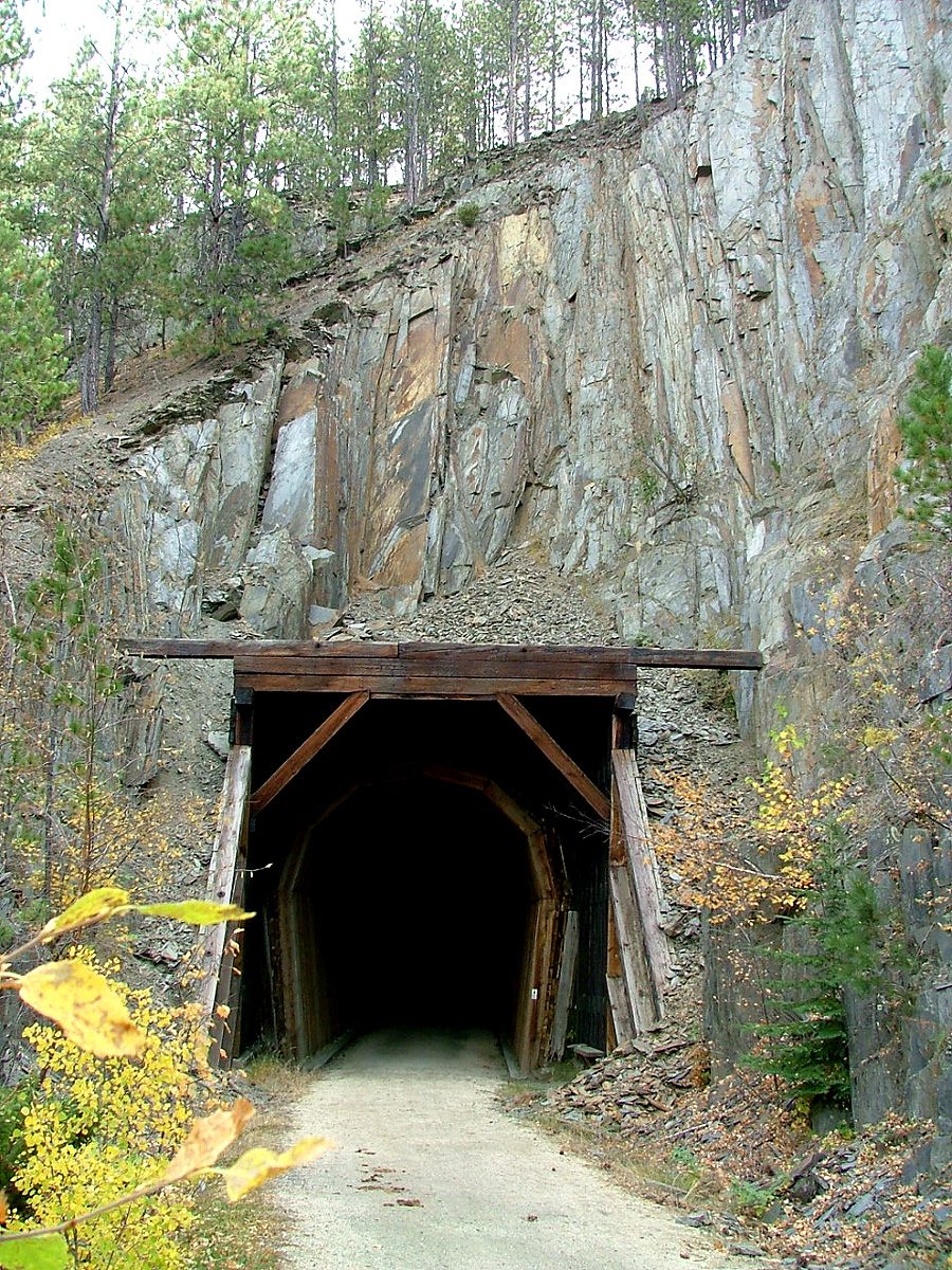
Over most of its length, not very. Game, Fish and Parks says most of the trail is no steeper than a 4 percent grade, a rise of 4 feet for every 100 feet of trail, though it calls some parts strenuous. It is surfaced with crushed limestone. Along the way it crosses more than 100 old railroad bridges, refitted for trail use, and goes through four tunnels cut in rock, the agency says.
The agency calls the climb from Deadwood, at 4,580 feet, to Dumont the trail’s longest, and on its trail guide that climb gains nearly 1,500 feet. South of Dumont the trail loses height overall, though not evenly. The guide’s elevation profile shows it rising about 780 feet from Mystic to Red Fern and about 750 feet from Hill City to The Mountain trailhead. Then, from Pringle, at 4,884 feet, it falls about 1,400 feet in its last 32 miles.
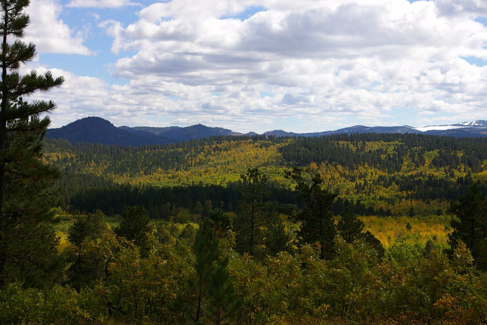
Carry water. Game, Fish and Parks says none is available along the trail, and its guide marks drinking water only at some trailheads. Cell phone coverage ranges from poor to none. The guide also shows self-service bike repair stations at several trailheads, Kirk, Englewood and Dumont among them.
Deadwood South to Hill City
The trail’s north end is in Deadwood, a gold camp founded in 1876. On the climb to Dumont the state’s guide lists trailheads at Kirk and Englewood, and two more, Lead and Sugarloaf, close to Lead. From Dumont to Rochford is 10 miles with no trailhead between, and the first of the four tunnels, Tunnel D, is about 3 miles north of Rochford.
South of Rochford, a gold-mining camp of the late 1870s, the other three tunnels lie within about 2 miles of the Mystic trailhead. Users are asked not to pass one another inside them. Beyond Mystic the trail climbs to the Red Fern trail stop and drops to Hill City, at milepost 60.1.
Around Hill City the trail is in the crystalline core, the old center of the Hills, made of granite and of metamorphic rock, which heat and pressure changed without melting it (How the Black Hills Formed explains the rings of rock around it). A 2010 field-trip guide from the South Dakota School of Mines and Technology sends geologists to an old railroad cut on the trail a few miles north of Custer. In that cut, black shale long since turned to metamorphic rock was folded tight and later folded again when granite moved in. Between Hill City and Custer, another guide in the same book notes, the road cuts and hills are schist and coarse Harney Peak Granite, the rock of Black Elk Peak (see The Granite Core).
Through Custer to Edgemont
South of Hill City the trail rises to The Mountain trailhead, at 5,748 feet, higher than any other stop between Hill City and Edgemont, then drops into Custer, near the stretch of French Creek where gold was reported in 1874 by prospectors traveling with the Army’s expedition. The trailhead in Custer is Harbach Park, at milepost 44.5. Near town, a 3.2-mile spur runs from the trail to Stockade Lake, inside Custer State Park.
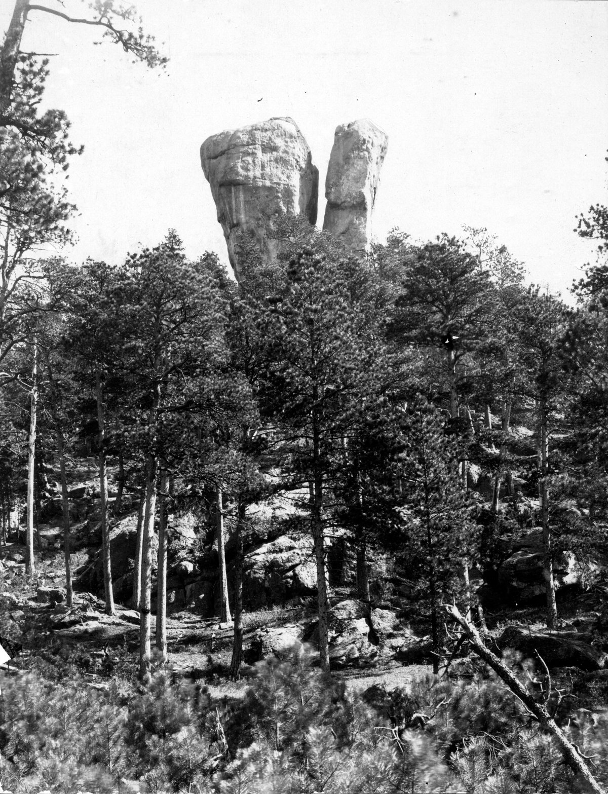
Below Custer come the Sanator and White Elephant stops and then Pringle, at milepost 32.1. The stops are farthest apart on this last stretch: 11.4 miles from Pringle to the Lein Quarry trail stop, then trailheads at Minnekahta and a stop at Sheep Canyon, and 11 miles from Sheep Canyon to the end. Game, Fish and Parks counts the southern end as rattlesnake country, adding that the snakes are rare at elevations over 5,000 feet.
The trail ends at milepost 0 in Edgemont, its lowest point and its southern trailhead.
Passes, Rules and Winter Use
Users under 12 need no pass. Everyone else does, except on stretches inside city limits, and must keep the pass on their person or bike. Daily and annual passes are sold, and each trailhead has a self-service pass station, Game, Fish and Parks says.
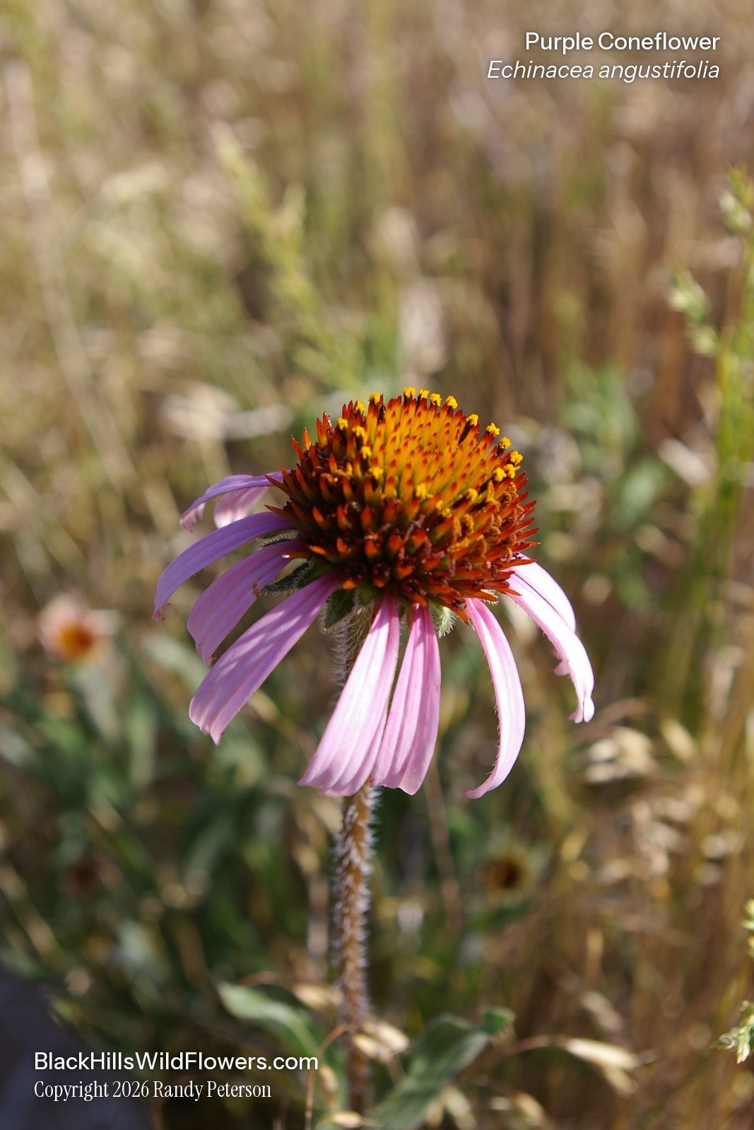
The trail is open to hikers, cyclists and horseback riders, and to cross-country skiers and snowshoers in winter. Motor vehicles are not allowed, with three exceptions: electric wheelchairs, Class 1 e-bikes, and snowmobiles on the section between Deadwood and Dumont. Snowshoes can be checked out, the state says, and it lists warming shelters among the trail’s amenities. Horses have the right of way over all other users, and people on foot over cyclists. Pets must be leashed. The trail is for day use only: camping is banned on it and at its trailheads, campfires are not allowed, and neither is hunting. Winter in the Hills covers skiing and snowmobiling elsewhere.
Much of the trail lies in national forest. Where it crosses private land, users may not leave the trail. Some stretches are open range, so cattle may be standing on the trail. The agency’s advice is to keep your voice low and ease past without alarming them. The cattle do wildlife a service, in the agency’s view, since their grazing keeps up meadows that animals need for habitat. For people with physical limitations, the trail office offers trolley rides of about four hours in summer.
From Rail Line to State Trail
The trail runs on a former rail line. The line between Deadwood and Custer was abandoned in 1983, a sign at the Hill City trailhead says. Citizens formed a group to make it a trail, Game, Fish and Parks agreed to develop and manage one, and the railroad’s property on that stretch was donated to the state in 1988 and 1989; the line south of Custer, where trains stopped in 1986, was added later. The first section was dedicated in 1991, and Game, Fish and Parks dates the trail’s completion to September 1998. How the line was built is told on Stagecoaches and Railroads, along with the stage roads the railroads replaced.
The trail is named for George S. Mickelson (1941 to 1993), a former speaker of the state House who became governor in 1987 and was re-elected in 1990. He helped lead the push for the trail, according to the Hill City sign and South Dakota Public Broadcasting. Mickelson and seven other men were killed on April 19, 1993, when the plane carrying them crashed near Dubuque, Iowa. A plaque overlooking Whitewood Creek near Pluma shows the 1991 ribbon cutting for the first six miles of what became the Mickelson Trail.
Connected
- Stagecoaches and RailroadsHow the railroads reached the Hills, including the line the trail now follows.
- Deadwood, South DakotaThe gold camp of 1876 at the trail’s north end.
- Hill City, South DakotaThe town at milepost 60.1, in the schist and granite of the core.
- Custer, South DakotaThe French Creek town with the Harbach Park trailhead.
- Edgemont, South DakotaMilepost 0 and the trail’s lowest point.
- How the Black Hills FormedThe crystalline core and the rings of rock around it.
- Custer State ParkThe park at the end of the Stockade Lake spur.
- Winter in the HillsSkiing, snowshoeing and snowmobiling across the Hills.
Sources
- George S. Mickelson Trail. South Dakota Game, Fish and Parks, 2026.
- Trail Policies and Etiquette (George S. Mickelson Trail). South Dakota Game, Fish and Parks, 2026.
- Trail Safety (George S. Mickelson Trail). South Dakota Game, Fish and Parks, 2026.
- George S Mickelson Trail (trail guide map and elevation profile). South Dakota Game, Fish and Parks, 2026.
- Geologic Field Trips in the Black Hills Region, South Dakota (Bulletin 21; Field Trip 2 by M.P. Terry, J.A. Redden and S. Allard; Field Trip 5 by A.L. Lisenbee and E. Erslev; Field Trip 10 by M.D. Fahrenbach). Michael P. Terry, Edward F. Duke and Jacob A. Tielke, eds., South Dakota School of Mines and Technology, 2010.
- South Dakota Historical Markers, numerical master list (markers 538 and 724). South Dakota State Historical Society, revised 2020.
- Flashback Friday: Fighting Stallions Memorial. South Dakota Historical Society Press, 2018.
- Remembering Governor George S. Mickelson and the Tragic Plane Crash of April 19th, 1993. Brent Duerre, South Dakota Public Broadcasting, 2024.
- Dreams Can Come True (sign text). Sign at the Hill City trailhead of the George S. Mickelson Trail; transcribed by the Historical Marker Database, 2026.
- Track or Trail: Sweat Equity Played a Role (sign text). Sign erected by the George S. Mickelson Trail at the Deadwood trailhead, since reported missing; transcribed by the Historical Marker Database, 2018.
- George S. Mickelson Trail (plaque near Pluma). Transcribed by the Historical Marker Database.
- Beecher Rocks. Pegmatite. South of Custer, Black Hills. N.H. Darton collection, U.S. Geological Survey Library Photographic Collection, 1898.
Last reviewed: