The Outdoors
The Centennial Trail
The Centennial Trail, Trail 89 on Forest Service lists, crosses land run by four public agencies. Built for the 1989 centennial of South Dakota’s statehood, it runs about 111 miles through the Black Hills, from Bear Butte State Park, about 6 miles northeast of Sturgis, to Wind Cave National Park. This page follows it north to south: its trailheads, lakes and wilderness, the uses each agency allows, and water.
Those four developed it, the Forest Service says: the Forest Service itself, the Bureau of Land Management, the National Park Service and South Dakota Game, Fish and Parks. Each still sets its own rules for backcountry camping, overnight parking and permits, so ask the one in charge of a stretch before spending a night on it.
- Distance
- About 111 miles one way, Bear Butte State Park to Wind Cave National Park (Park Service and Forest Service)
- Elevation gain
- Not published by the managing agencies
- Difficulty
- Varies: easy on Game, Fish and Parks’ Bear Butte map; moderately strenuous for the 6 miles in Wind Cave (Park Service)
- Trailhead
- North end in Bear Butte State Park, off SD 79; south end in Wind Cave National Park, reached from SD 87 or park road NPS 5; the Forest Service lists 21 trailheads that reach the trail
- Season
- No agency names a best season; Wind Cave warns of summer heat above 80°F and large hail
Is There Water on the Centennial Trail?
Not much that is safe to drink. The Forest Service says drinking water isn’t available at its northern and central trailheads, and the Park Service says the Wind Cave stretch has none. Water sources in Wind Cave’s backcountry are few, the Park Service adds, and any you use must be treated, filtered or boiled first; it advises carrying plenty.
In Wind Cave, the Park Service warns, summer afternoons are often hotter than 80°F, and storms there can drop large hail. Plains bison (Bison bison bison) range at Bear Butte, in Custer State Park and in Wind Cave, and both the state and the Park Service warn that they are dangerous. Wind Cave requires everyone to stay at least 25 yards from any wild animal and urges more room around bison.
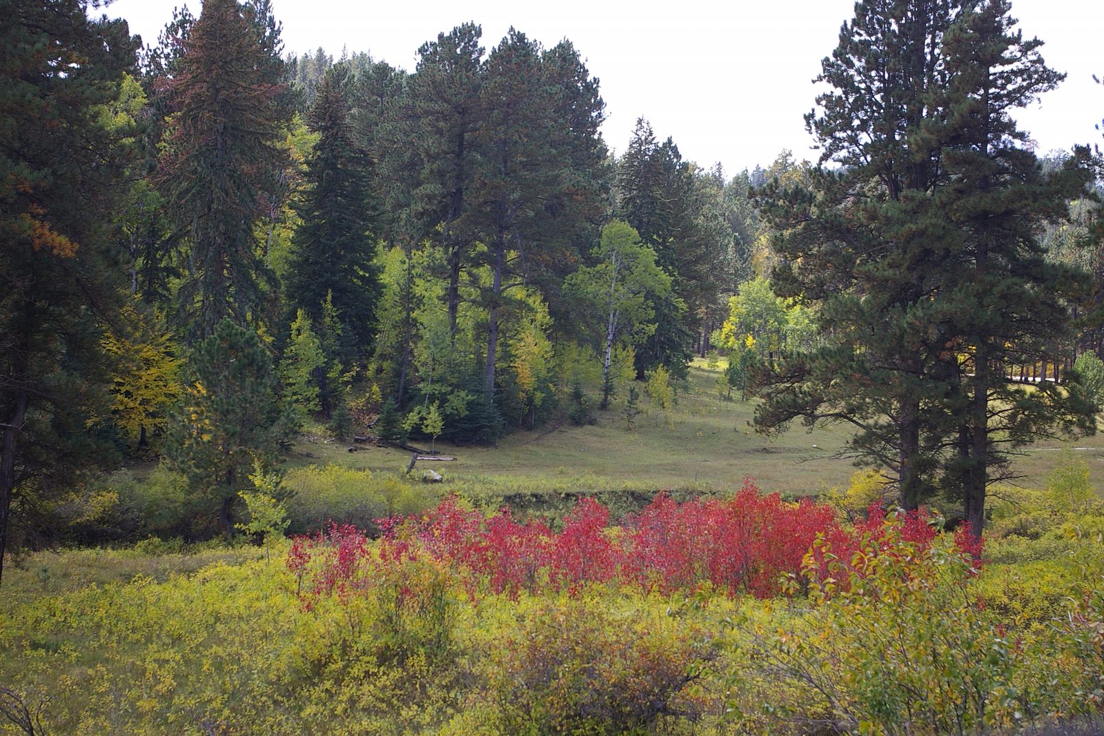
Bear Butte and the Northern Hills
The trail begins in Bear Butte State Park. Bear Butte, Mahto Paha (or Paha Mahto) in Lakota, is sacred to many tribes, and tribal people still hold religious ceremonies there. “Bear Butte is our Mount Sinai,” Llevando Fisher, then president of the Northern Cheyenne Tribe, told a House subcommittee in May 2014; Bear Butte and the Plains Edge and Sacred Sites: Bear Butte, Devils Tower and Wind Cave tell what the mountain means. The park’s rules ask visitors to “stay on the trail and respect those participating in religious activities.”
The butte is an igneous intrusion, magma that hardened underground and was later bared by erosion (see Devils Tower, Bear Butte and the Igneous Rocks of the Hills). The state’s map of the park’s trails rates the Centennial easy. Horses are barred east of Highway 79, the butte’s side of the road, and the Centennial is open to riders from the park’s horse camp westward.
Past the park, the trail crosses the Bureau of Land Management’s Fort Meade Recreation Area, home of the Alkali Creek Trailhead, and enters the national forest. The Forest Service puts its northern section at 37 miles, with trailheads at Alkali Creek, Elk Creek, Dalton Lake, South Boxelder and Pilot Knob, and opens it to hikers, backpackers, riders and mountain bikers. Between Dalton Lake and Pilot Knob, and nowhere else on the trail, off-highway vehicles up to 62 inches wide may use it too.
Pactola, Sheridan Lake and the Black Elk Wilderness
The central section, about 29 miles by the Forest Service’s count, takes the trail past Pactola Reservoir and Sheridan Lake, and it is open to the same four uses. Its seven trailheads are Brush Creek, Calumet, Dakota Point, Deer Creek, Rapid Creek and Fishing Access, Samelius and Spring Creek. Part of it lies in the Pactola Reservoir complex, about 15 miles west of Rapid City; the agency ranks Pactola first among the forest’s reservoirs for size and depth. Farther south, the Forest Service’s Dakota Point Picnic Area, with views of Sheridan Lake, has a trailhead onto the Centennial. Lakes of the Black Hills covers both lakes.
The southern section, about 38 miles, is open to hikers and backpackers, and horses and mountain bikes are allowed on parts of it. Its nine trailheads run from Big Pine, on SD 244 about 3 miles west of Mount Rushmore and a quarter mile northwest of Horsethief Lake, through Custer State Park to one managed by Wind Cave. The Forest Service’s three sections add up to 104 miles, 7 short of the 111 it gives for the whole trail, and its pages don’t explain the gap.
South of Horsethief Lake the trail crosses the Black Elk Wilderness, east of Black Elk Peak. Congress created this wilderness, the only one in the Black Hills National Forest, in 1980 and enlarged it in 2002. It now covers more than 13,534 acres, the Forest Service says, in the middle of the Norbeck Wildlife Preserve. Bicycles, strollers, carts and anything else motorized or mechanized are banned there, and no group may exceed 25 people and livestock combined. Horses are allowed.
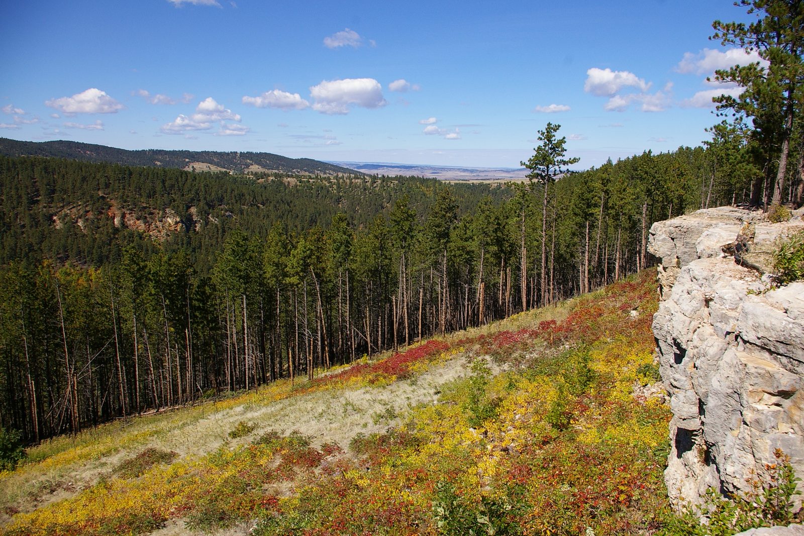
Black Elk Peak is granite of the Precambrian core, the oldest rock in the Hills, and nearby Mount Rushmore is carved in the same granite (see The Granite Core: Black Elk Peak and the Needles). Hiking Black Elk Peak describes the climb to the summit. Near Iron Creek, the trail enters Custer State Park.
22 Miles Across Custer State Park
Game, Fish and Parks counts 22 miles of the trail inside Custer State Park, where gray diamonds on trees and brown fiberglass posts mark the way. Iron Creek, at the park’s north edge, is the first of three trailheads there; the others are Badger Hole, near Legion Lake, and French Creek, by the horse camp.
The trail reaches US 16A near Legion Lake about 6 miles south of Iron Creek. The Badger Hole, the cabin of Badger Clark, South Dakota’s first poet laureate, lies south of the highway, past ground burned in the 1988 Galena Fire; Custer State Park tells more of the park’s past. The state calls the steep, rocky drop into the French Creek Natural Area, and the crossings of the creek below, the most strenuous part of the trail in the park. South of the creek the trail heads out across open grassland, the range of large bison herds. At the Wind Cave boundary, by the Highland Creek Trailhead, the park asks that gates in the border fence be closed behind you.
On bikes, the state’s trail page is inconsistent: it says riders and mountain bikers use the park’s stretch, but leaves the Centennial off its list of trails open to bikes. Cyclists should check with the park first.
The Last 6 Miles, in Wind Cave
The final 6 miles cross Wind Cave National Park, running beside Beaver Creek in places and through ponderosa pine (Pinus ponderosa) forest and prairie. The Park Service rates the stretch moderately strenuous and lists it among the park’s strenuous trails. Here the trail is for people on foot: bicycles may use park roads but no trails, and riders, who need a permit, may not ride on any maintained hiking trail. Overnight hikers need a permit too, and may camp only in the park’s northwest backcountry, north of Beaver Creek. Many backcountry campers start from one of the park’s two Centennial trailheads, the Park Service says: on NPS 5 east of SD 87, or 1.5 miles north of the visitor center.
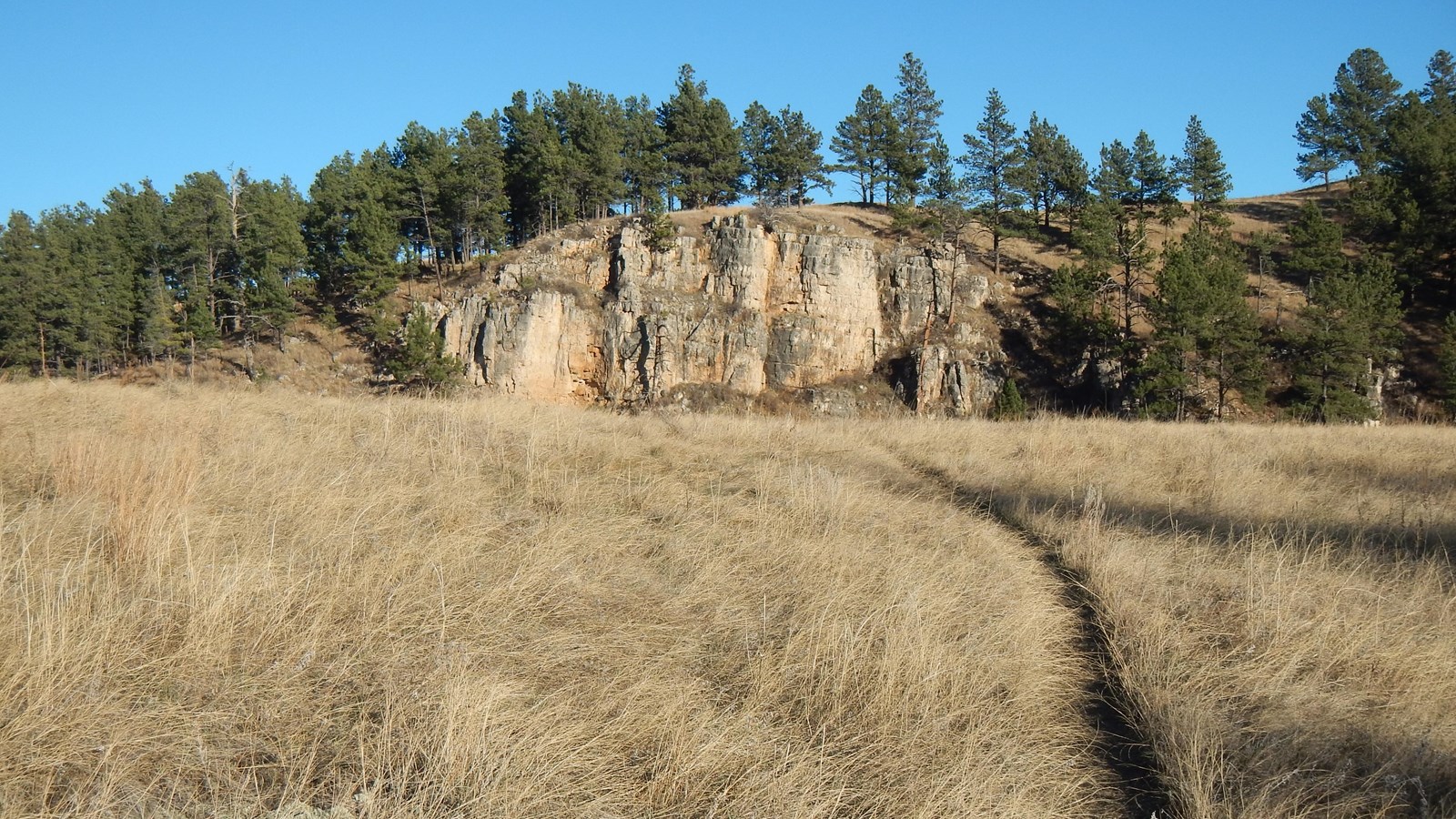
Wind Cave lies outside the granite core, in the ring of limestone around it. The Madison Limestone that holds the cave built up in a warm, shallow sea roughly 345 to 360 million years ago, and the cave’s first passages dissolved about 320 million years ago, the Park Service says. The Limestone Plateau and the Caves explains how, and Wind Cave National Park covers the cave and its tours.
Connected
- Bear Butte and the Plains EdgeThe sacred mountain and the plains at the trail’s northern end.
- Wind Cave National ParkThe park that holds the trail’s last 6 miles.
- Hiking Black Elk PeakThe climb in the wilderness the trail crosses east of the peak.
- Custer State ParkThe park the trail crosses for 22 miles, past the Badger Hole.
- Sacred Sites: Bear Butte, Devils Tower and Wind CaveWhat Bear Butte and Wind Cave mean to the tribes.
- The Granite Core: Black Elk Peak and the NeedlesThe old rock at the center of the trail’s route.
- Lakes of the Black HillsPactola, Sheridan and the other lakes near the trail.
Sources
- Centennial Trailheads (Trail #89): Northern Hills. USDA Forest Service, Black Hills National Forest, 2026.
- Centennial Trailheads (Trail #89): Central Hills. USDA Forest Service, Black Hills National Forest, 2026.
- Centennial Trailheads (Trail #89): Southern Hills. USDA Forest Service, Black Hills National Forest, 2026.
- Big Pine Trailhead (Centennial #89). USDA Forest Service, Black Hills National Forest, 2026.
- Pactola Reservoir Complex. USDA Forest Service, Black Hills National Forest, 2025.
- Dakota Point Picnic Area. USDA Forest Service, Black Hills National Forest, 2026.
- Black Elk Wilderness. USDA Forest Service, Black Hills National Forest, 2026.
- Black Elk Wilderness & Norbeck Wildlife Preserve. USDA Forest Service, Black Hills National Forest, 2026.
- Wilderness Rules and Regulations. USDA Forest Service, Black Hills National Forest, 2025.
- Black Elk Wilderness and Norbeck Wildlife Preserve Trail System (map). USDA Forest Service, Black Hills National Forest, 2017.
- Black Elk Wilderness (designating laws, 1980 and 2002). Wilderness Connect, University of Montana, viewed 2026.
- 2018 National Public Lands Day: Centennial Trail Reroute. Bureau of Land Management, 2018.
- Bear Butte State Park. South Dakota Game, Fish and Parks, viewed 2026.
- Bear Butte Trail System (trail map). South Dakota Game, Fish and Parks, viewed 2026.
- Hiking, Biking, and Horse Trails (Custer State Park). South Dakota Game, Fish and Parks, viewed 2026.
- Hiking. National Park Service, Wind Cave National Park, 2026.
- Centennial Trail. National Park Service, Wind Cave National Park, 2024.
- Permits & Reservations. National Park Service, Wind Cave National Park, 2026.
- Bike Wind Cave. National Park Service, Wind Cave National Park, 2024.
- Backcountry Camping at Wind Cave. National Park Service, Wind Cave National Park, 2024.
- Cave Geology. National Park Service, Wind Cave National Park, 2024.
- Statement of Llevando “Cowboy” Fisher, President, Northern Cheyenne Tribe, on H.R. 4350, the Northern Cheyenne Lands Act. Northern Cheyenne Tribe, before the House Committee on Natural Resources, 2014.
Last reviewed: