Section
Landscape and Geology
- How the Black Hills FormedThe dome that rose during the Laramide orogeny, the four rings of rock it left, and how old each ring is.
- The Granite Core: Black Elk Peak and the NeedlesThe core's age, pegmatite crystals tens of feet long, the cracks behind the Needles, and why Mount Rushmore was carved there.
- The Limestone Plateau and the CavesHow water dissolved Wind Cave and Jewel Cave out of the Madison Limestone, and the aquifer and canyons of the second ring.
- The Red ValleyRed shale and white gypsum in the third ring, the Lakota and Cheyenne story of the Racetrack, and its towns.
- How the Badlands ErodeLayers from an old seafloor up through volcanic ash, and how fast rainstorms, frost and the White River tear them down.
- Devils Tower, Bear Butte and the Igneous Rocks of the HillsMagma that cooled underground in the northern Hills, from Devils Tower to Inyan Kara, and the open debates over how some formed.
- Gold and the Other MineralsPlacer and lode gold, why so much of it collected at Lead, and where mica, lithium, uranium and bentonite lie.
- Fossils and the Mammoth SiteBadlands mammals from thunder beasts to a dog-sized horse, mosasaurs of an inland sea, Hogback dinosaurs, and the Hot Springs mammoths.
- Rockhounding in the Black HillsFairburn agates, rose quartz and pegmatite crystals, and what each agency lets a visitor pick up and keep.
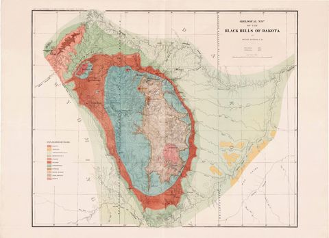
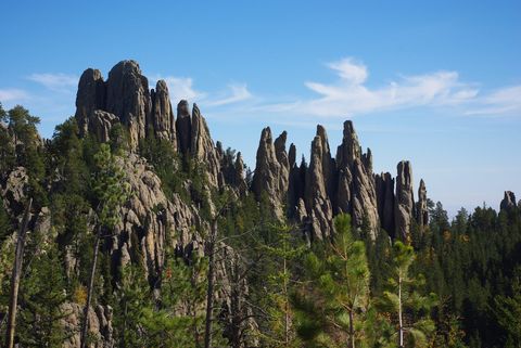
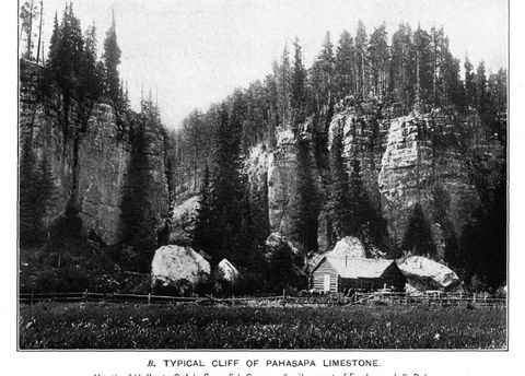
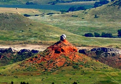
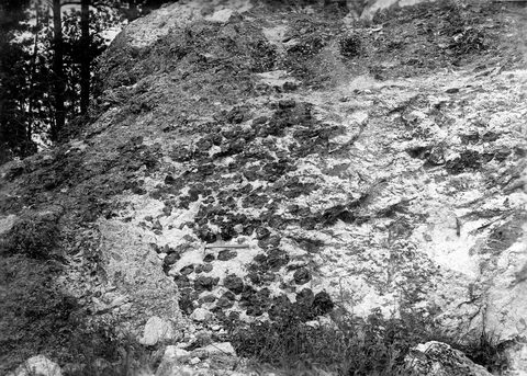
A road that climbs from the plains into the middle of the Black Hills crosses four bands of rock, and whichever side it starts from, it meets them in the same order. First comes a ridge of hard sandstone, then a valley of red ground, then a high rim of limestone, and last the granite and schist at the center. This section explains that layout and what came of it: the rings themselves, the caves and igneous peaks, the gold and other minerals, the Badlands and the fossils.
The bands are the worn edges of a dome. The crust here began to arch upward more than 60 million years ago, in the Laramide orogeny, an age of mountain building. Erosion has since cut through the dome's crown to the oldest rock, leaving the younger layers to circle it in a pattern the National Park Service likens to a bullseye. How the Black Hills Formed takes the four rings in turn: the crystalline core, the Limestone Plateau, the Red Valley and the Hogback.
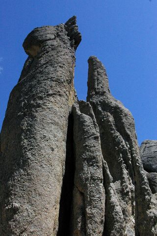
Three of the rings have pages of their own. The Granite Core covers the oldest rock in the Hills; in Wind Cave National Park, the Park Service dates the core's schist to about 2 billion years ago. The Limestone Plateau and the Caves follows water into the Madison Limestone, laid down in a warm, shallow sea about 350 million years ago, where Wind Cave formed. The Red Valley runs through soft red shale and siltstone, hollowed by erosion into a low ring. Lakota oral tradition gives it a second name, the Racetrack, after a great race between the four-leggeds and the two-leggeds around the Black Hills.
On the north side and across the Wyoming line, magma broke the pattern, mostly cooling underground. Devils Tower, the best known of these intrusions, cooled about 50 million years ago at a depth of one to two miles, by the Park Service's count. Bear Butte, 6 miles northeast of Sturgis, is another. Both are sacred. Many tribes hold ceremonies at Bear Butte, Mahto Paha (or Paha Mahto) in Lakota, and the Park Service counts more than two dozen tribes with ties to Devils Tower; Lakota, Cheyenne and Crow people each have a name for it meaning Bear Lodge. Devils Tower, Bear Butte and the Igneous Rocks of the Hills covers the rock, and Sacred Sites tells what the places mean.
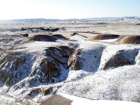
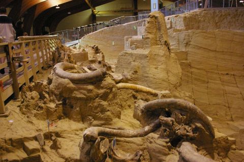
Minerals follow the rock too, and Gold and the Other Minerals traces gold, mica, lithium and uranium to the layers that hold them. East of the Hills, the Badlands are soft rock, deposited from about 75 to 28 million years ago, the Pierre Shale first and the Sharps Formation last, and How the Badlands Erode explains why that rock wears away so fast. The fossils in those layers are on Fossils and the Mammoth Site, along with the mammoths whose bones fill a sinkhole at Hot Springs, dated in a 2026 study to about 160,000 to 230,000 years ago.
One page is for people who want to look for stones themselves: Rockhounding in the Black Hills sets out what is found where and what each land agency allows.
Sources
- Geology and Water Resources of the Northern Portion of the Black Hills and Adjoining Regions in South Dakota and Wyoming (Professional Paper 65), topography section, by N.H. Darton. U.S. Geological Survey, 1909 (online edition, NPS History).
- Park Geology. National Park Service, Wind Cave National Park, 2023.
- NPS Geodiversity Atlas: Wind Cave National Park, South Dakota. National Park Service, 2024.
- Cave Geology. National Park Service, Wind Cave National Park, 2024.
- Stop #7: Spearfish Formation / Inyan Kara Group. National Park Service, Wind Cave National Park, 2021.
- Lakota artists recount legend of the Black Hills. Aly Duncan Neely, Native Sun News (republished by Indianz), 2016.
- How the Tower Formed. National Park Service, Devils Tower National Monument, 2025.
- A Place of Reverence for Native Americans. National Park Service, Devils Tower National Monument, 2025.
- Bear Butte State Park. South Dakota Game, Fish and Parks.
- Geologic Formations: How Badlands Buttes Came to Be. National Park Service, Badlands National Park, 2020.
- Age Reassignment Using Luminescence Dating for the Mammoth Site, Black Hills, South Dakota, USA, by Shannon A. Mahan and others. Quaternary Research, 2026 (U.S. Geological Survey record).
Last reviewed: