Section
Towns
Northern Hills
About the Northern Hills- Spearfish, South DakotaWhere Spearfish Creek leaves its canyon onto red rock: a federal trout hatchery, a teachers' school turned university, a passion play.
- Sturgis, South DakotaA Red Valley town that began as Scooptown beside Fort Meade, lived on soldiers and cattle, and hosts the August rally.
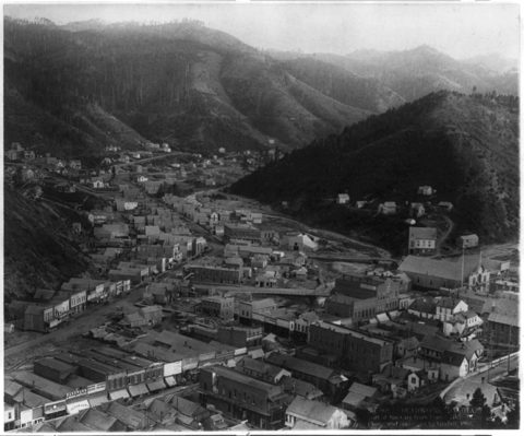
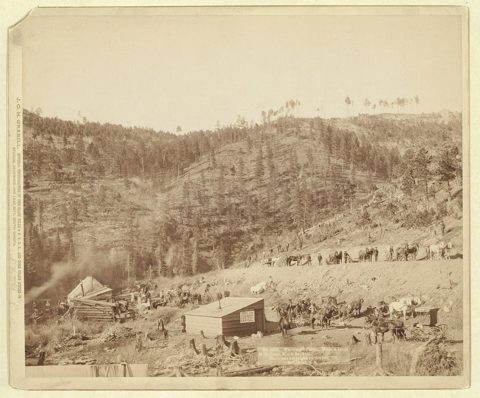
- Deadwood, South DakotaPlacer gold in a steep gulch, a downtown rebuilt in brick after the 1879 fire, and gaming that funds preservation from 1989.
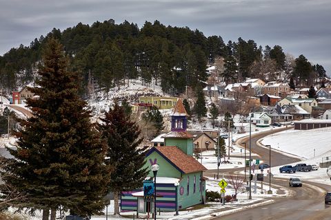
- Lead, South DakotaThe Homestake Mine's company town on steep ground over the Homestake Formation, and its life since the mine shut in 2001.
- Belle Fourche, South DakotaCattle railhead at the Redwater's mouth, with a monument to the 50-state center, which lies out on a Butte County ranch.
- Whitewood, South DakotaFarm town and, from 1887 to 1890, the end of the railroad's track, set in a northward bend of the Red Valley.
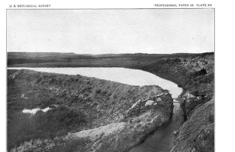
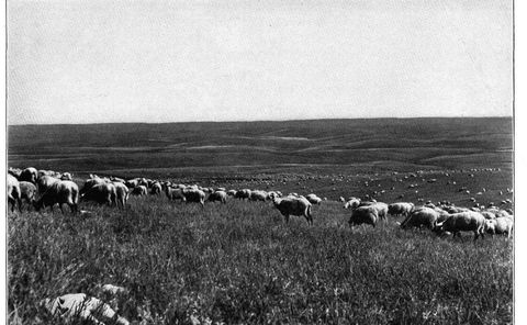
- Newell, South DakotaFederal canal water, sugar beets and sheep, and gumbo clay over the Pierre Shale, in the Belle Fourche irrigation project.
Central Hills
About the Central Hills- Rapid City, South DakotaStraddling the Hogback at Rapid Creek's gap: Hay Camp, the 1972 flood, Ellsworth and the hillside of a former boarding school.
- Hill City, South DakotaA gold camp on the core's old schist, a tin boom that went bust in 1893, then rails, timber and tourism.
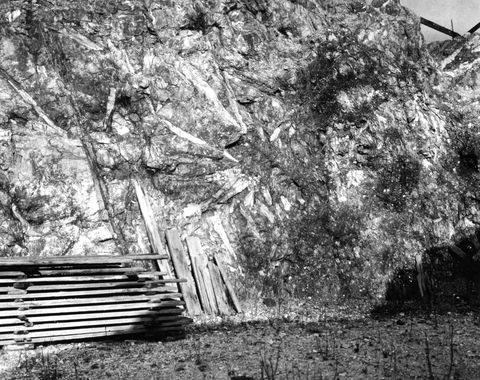
- Keystone, South DakotaGold and pegmatite mines with giant crystals, and a town that lived 2 miles from the carving of Mount Rushmore.
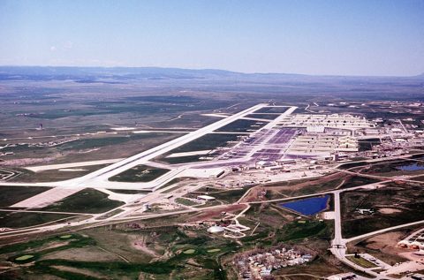
- Box Elder, South DakotaEllsworth Air Force Base's neighbor, grown from a railroad stop named for a creek to 11,746 people in the 2020 Census.
- Rochford, South DakotaHardrock gold on rock long mistaken for the Homestake Formation, and now a few homes along the Mickelson Trail.
Southern Hills
About the Southern Hills- Custer, South DakotaGold reported on French Creek in 1874, then decades of mica and beryl from the granite, and Jewel Cave 13 miles west.
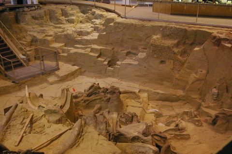
- Hot Springs, South DakotaHealing water to the Lakota, then bathhouses, the Battle Mountain Sanitarium for veterans, and the Mammoth Site's ancient sinkhole.
- Edgemont, South DakotaRailroad terminal, Army depot, uranium boom and buried mill waste, and now milepost 0 of the Mickelson Trail.
- Hermosa, South DakotaA railroad townsite on Battle Creek, with cattle and tin in its past and floods in 1972 and 2007.
- Pringle, South DakotaA Burlington stop once named Point of Rocks, where the old crystalline core ends, between Jewel Cave and Wind Cave.
- Buffalo Gap, South DakotaBeaver Creek's gap in the Hogback, an old bison route that gave the town its name, then stage, rail and cattle days.
Badlands
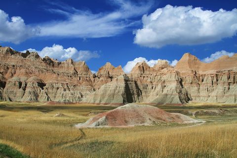
About the Badlands and Wall- Wall, South DakotaAt the Badlands Wall's west end: homestead claims, a railroad, Wall Drug's ice water and a missile silo.
- Interior, South DakotaFirst called Black, the town moved to meet the railroad and now lives beside the national park in the White River valley.
- Sundance, WyomingCrook County's seat between two igneous mountains, the ceremonies its name is traced to, and the jail that held the Sundance Kid.
- Newcastle, WyomingBegun to serve the Cambria coal mines, Weston County's seat now runs on oil and cattle and lends a sandstone its name.
- Hulett, WyomingRed rimrock, the Belle Fourche River, sawmills and ranches, 9 miles north of Devils Tower.
- Moorcroft, WyomingOn the plains west of the Hills: a Burlington stop from the early 1890s, decades of cattle shipping, and Keyhole Reservoir nearby.
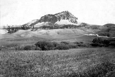
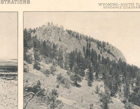
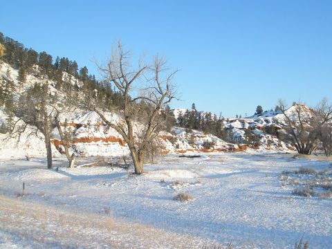
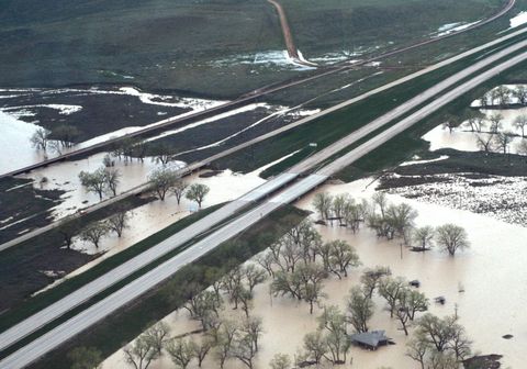
Lead was built over some of the oldest rock in the Black Hills, the Precambrian core, where a layer called the Homestake Formation held the Homestake Mine's gold. Interior, out in the Badlands, sits among soft layers of mudstone, sandstone and volcanic ash laid down from about 75 million to 28 million years ago. The 24 towns in this section, 20 in South Dakota and four in Wyoming, stand on everything in between, and each town page ties its town to the ground beneath it. The list below groups them by region, with a link to each region's page.
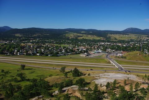
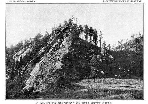
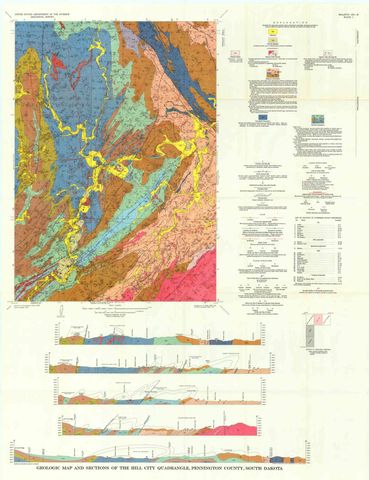
The Hills are a dome worn down into four rings of rock: the ancient core at the center, then a rim of limestone, the Red Valley, and the Hogback, a hard sandstone ridge at the outer edge (How the Black Hills Formed lays them out). Where a town sits among them explains a good deal about it. The soft red rock of the Red Valley, the Spearfish Formation, probably takes its name from Spearfish. At Hot Springs, warm water, most of it from the Madison aquifer in the limestone ring, rises as springs; tribal tradition, a state marker says, holds that the tribes bathed their sick there long before the town's bathhouses were built.
Creeks leave the Hills through gaps in the Hogback, and Buffalo Gap shares its name with one of those passes, where an old bison trail led into the Hills. Past the last ring lie the plains towns. Wall sits at the west end of the Badlands Wall, the eroded escarpment at the heart of the national park's North Unit. Moorcroft, west of the Hills, grew up on the plains as a railroad town for the cattle trade.
In size the towns run from Rapid City, with 74,703 people in the 2020 Census, down to Interior, with 65. Rochford gets no separate count: it is not incorporated, and the Census Bureau has not drawn a census-designated place around it. Rapid City and Deadwood both began in 1876, during the gold rush, on land the 1868 Fort Laramie Treaty had set apart for the tribes; the 1877 Act took it without the consent the treaty required (The 1876 War and the Taking of the Hills).
On the Wyoming side, Sundance takes its name from Sundance Mountain, and WyoHistory, the Wyoming State Historical Society's encyclopedia, traces the mountain's own name to ceremonies at what it describes as a sacred site. The town's jail gave an outlaw his name. Harry Longabaugh was about 20 when it took him in for horse theft in 1887, and after 18 months there he went on as the Sundance Kid.
Sources
- Geologic Formations: How Badlands Buttes Came to Be. National Park Service, Badlands National Park, 2020.
- Geology and Water Resources of the Northern Portion of the Black Hills and Adjoining Regions in South Dakota and Wyoming (Professional Paper 65), Topography. N.H. Darton, U.S. Geological Survey, 1909 (NPS History Electronic Library copy).
- Stop #7: Spearfish Formation / Inyan Kara Group. National Park Service, Wind Cave National Park, 2021.
- South Dakota State Historical Society Markers (markers 118, Rapid City Founders Camp Site; 469, Jedediah Strong Smith's Route; 663, Hot Springs SD). South Dakota State Historical Society, 2020.
- Badlands Wall. National Park Service, Badlands National Park, 2020.
- Crook County, Wyoming. Nicole Lebsack, WyoHistory, Wyoming State Historical Society, 2014.
- TIGERweb, 2020 Census: Incorporated Places (Rapid City, Box Elder and Interior, South Dakota). U.S. Census Bureau, 2020.
Last reviewed: