Towns
Belle Fourche, South Dakota
Belle Fourche keeps its monument to the center of the nation on the grounds of the town museum, but the center is not in town. The point the U.S. Geological Survey lists as the geographic center of the 50 states lies out in the ranch country of Butte County, north of Belle Fourche. The town, the Butte County seat, had 5,617 people in the 2020 census. It sits where the Redwater River flows into the Belle Fourche River, on the plains just past the northern edge of the Black Hills, in the Northern Hills region. Belle Fourche began in the early 1890s as a railroad town for shipping cattle, and it has lived since on livestock, irrigated farms and a clay called bentonite.
Where the Redwater Meets the Belle Fourche
Belle Fourche lies at a meeting of streams, outside all four rings of rock that make up the Black Hills (see How the Black Hills Formed). The Hogback, the sandstone ridge at the outer rim, rises between the town and Spearfish, and north of it the country opens into plains.
Three streams meet here. Above the town, the Belle Fourche River gathers water from about 3,250 square miles, the U.S. Geological Survey geologist N.H. Darton reported in 1909. The Redwater comes in from the south, having picked up Spearfish Creek about 6 miles south-southwest of town. Hay Creek flows east to the town from Aladdin, Wyoming.
Under the town lies shale. The first deep well Darton described went through 207 feet of it before it struck sandstone. Beginning in 1904, the city's water came from artesian wells, where pressure lifts the water without a pump. The wells reached the sandstone Darton called the Dakota or the Lakota sandstone below it, which gave big flows on the valley floors near town.
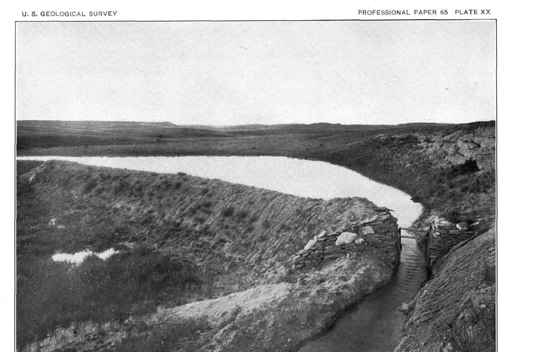
The river and the town share a French name, "beautiful fork." Early voyageurs apparently gave it to the river, according to the Wyoming State Library's record of that state's place names. The Lakota knew the Belle Fourche as the Sun Dance River, the National Park Service notes.
The shale country around the town holds bentonite, a clay formed from altered volcanic ash. The ash settled in an ancient inland seaway and broke down into clay, the Wyoming State Geological Survey explains. Soaked, Wyoming's sodium bentonite can grow to as much as 16 times its dry volume, the survey says. In 1962 the USGS described a northern Black Hills bentonite district taking in parts of Crook County, Wyoming, Carter County, Montana, and Butte County, South Dakota, where most of the clay mined from 1941 to 1956 came from one bed, the Clay Spur, in the upper Mowry Shale. It went mainly into drilling mud, foundry sand and a binder for pellets of taconite iron ore. Most of that clay left the district by rail from Belle Fourche, the report says, and Britannica counts bentonite mining and processing among the town's industries; more on the clay is on Gold and the Other Minerals.
A Railhead at the Forks
A railroad's choice of a station site made Belle Fourche. The valley lay inside the Great Sioux Reservation that the 1868 Fort Laramie Treaty set apart for the tribes, and the 1877 Act took it, with the Hills, without the consent the treaty required (see The 1876 War and the Taking of the Hills). Cattle outfits spread over the grass around the Hills from the late 1870s (see The Open Range and the Cattle Drives).
The town came with the Fremont, Elkhorn and Missouri Valley Railroad, a line tied to the Chicago and North Western, when it built on past Whitewood (see Stagecoaches and Railroads). The railroad chose the forks of the river for its station over Minnesela, a rival town, according to the downtown's 1982 National Register nomination. The land at the forks belonged to Seth Bullock of Deadwood and his partners. A 2016 history by South Dakota Public Broadcasting (SDPB) credits Bullock and Sol Star with founding Belle Fourche. By the chamber of commerce's account, the two gave land for the sale of town lots, and Minnesela merchants who moved over could have a lot free.
The founding year depends on the source. The nomination says the Pioneer Townsite Company founded Belle Fourche in 1890 and that the station opened on December 28 of that year. Britannica says the town was laid out in 1891. The chamber says the railroad arrived and the town was established on December 28, 1890, and dates the auction of town lots to June 9, 1891.
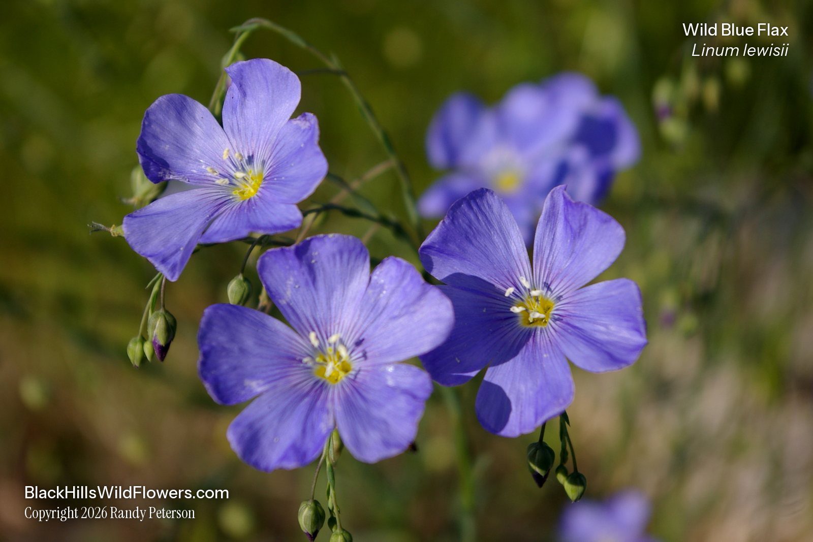
In 1894 Belle Fourche sent out 4,700 carloads of cattle, the nomination records. It also calls the town of the early 1890s "the world's largest primary cattle shipping center," but names no source and gives no rival figures. A national title for the same decade is claimed for Moorcroft, Wyoming, again with no numbers to compare, so neither ranking can be tested. How the rails and the range came together here is followed on Rails, Cattle and Belle Fourche.
Saloon Street was wiped out and most of State Street burned in a fire in September 1895, the nomination says. The town had taken the Butte County seat the year before, and Britannica dates its incorporation to 1903. The commercial blocks along State Street are now on the National Register of Historic Places as the Belle Fourche Commercial Historic District.
Robbers held up the Butte County Bank in Belle Fourche on June 28, 1897; whether the Sundance Kid was among them is disputed (see Outlaws and the Sundance Kid).
Canals, Beets and a Trade Town
The Belle Fourche Project, approved on May 10, 1904, was the second project of the new Reclamation Service. A diversion dam about 1.5 miles below town turns water from the river toward a storage reservoir on Owl Creek, behind Orman Dam, officially Belle Fourche Dam. The dam was finished on June 30, 1911, and was then the largest rolled-earth dam in the world; the project now waters about 57,000 acres, the National Park Service says. The nomination dates a second boom in the area to sugar beets, a crop introduced in 1910. The full story is on The Belle Fourche Irrigation Project.
Belle Fourche is still a trade town for the farms and ranches around it. Britannica describes a major livestock market there, for cattle, horses and sheep, and the 2016 SDPB history lists farm trade, mining and tourism.
Which Center Does the Monument Mark?
The monument in Belle Fourche honors the geographic center of the 50 states, a point out on a ranch north of town. The Belle Fourche Chamber of Commerce and a local planning committee unveiled it on August 21, 2007, at the Tri-State Museum and Visitor Center, by the chamber's own account, which also says the true center lies on private land outside town.
That calculated point is the geographic center of the 50 states as the USGS lists it: west of Castle Rock, in Butte County, at 44°58′ north latitude and 103°46′ west longitude. Britannica's figure puts it about 20 miles from town, to the north. In 2013 South Dakota Magazine described the spot as a pasture on a privately owned ranch, marked by a flag, a sign and a survey marker.
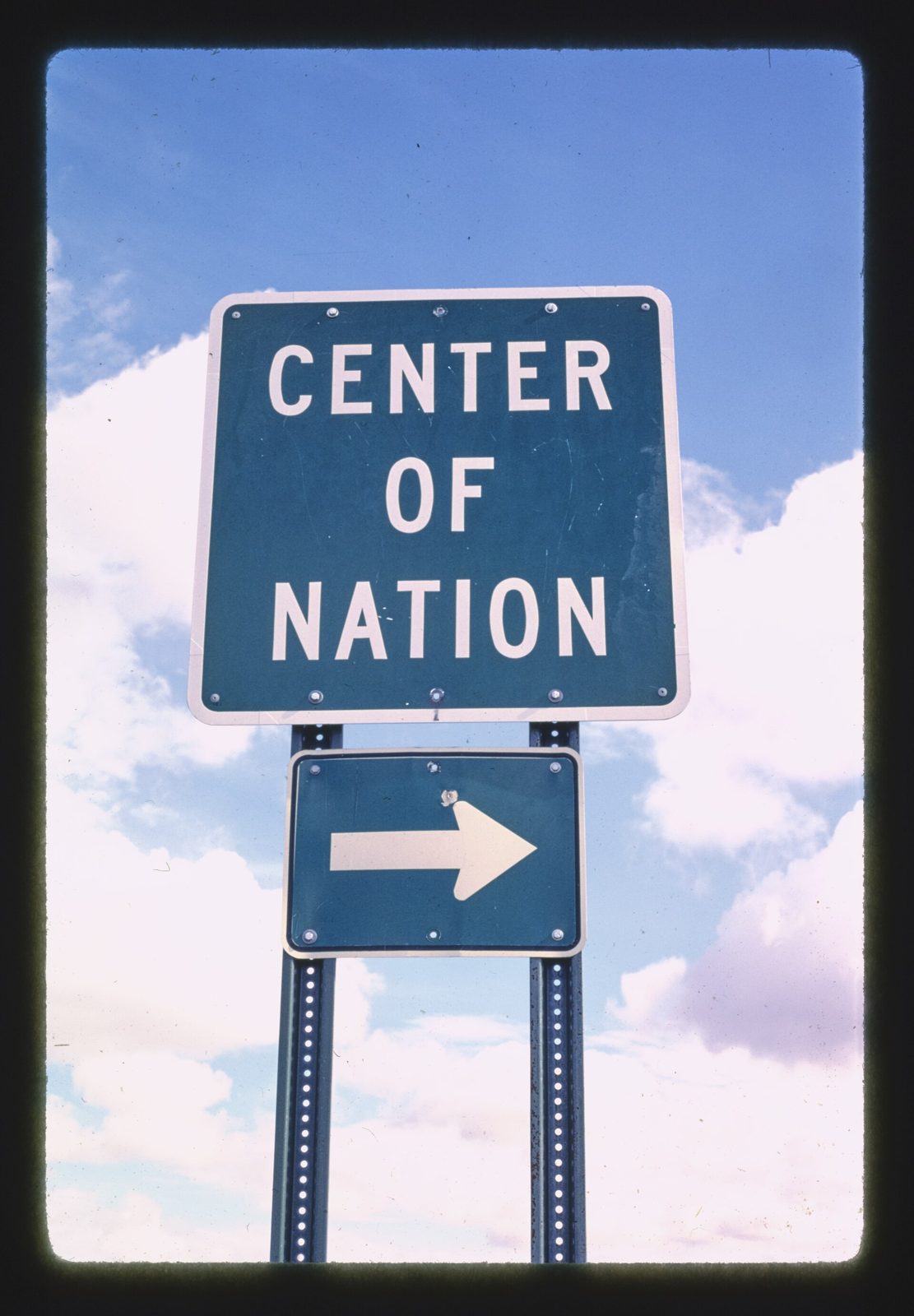
The USGS treats a geographic center as an area's balance point: cut the area from a flat sheet of even thickness, and it would balance there. The agency adds that no definition is generally accepted, that its positions are approximate, and that no government agency has marked or monumented the 50-state center. Still, a disk stamped "CENTER 1962" marks a survey station at the spot, set that year by the Coast and Geodetic Survey, the National Geodetic Survey's record shows. Until Alaska and Hawaii became states in 1959, the center lay in Kansas, South Dakota Magazine notes; the USGS still places the center of the 48 adjoining states near Lebanon, Kansas. A state historical marker says adding Alaska moved the center from Kansas into Butte County and adding Hawaii shifted it a few miles farther southwest. Its text places it 0.3 mile west of the point; state records disagree on whether it still stands there or at the museum in Belle Fourche.
Spearfish, Newell and the Wyoming Line
South across the Hogback is Spearfish, at the mouth of its canyon. Sturgis lies farther southeast, on Interstate 90 in the Red Valley. East of town, Belle Fourche Reservoir fills behind Orman Dam on Owl Creek (see Lakes of the Black Hills), and beyond it is Newell, the irrigation project's headquarters town, with 584 people in 2020. To the west, Wyoming is close, and from Devils Tower the road runs northeast through Hulett and Aladdin to Belle Fourche.
Connected
- The Northern HillsThe region, from the gold gulches at Lead to the plains around Belle Fourche and Newell.
- Gold and the Other MineralsBentonite and the other minerals of the Hills, and the rocks that hold them.
- The Open Range and the Cattle DrivesThe trail herds and big outfits behind the town's cattle trade.
- Rails, Cattle and Belle FourcheHow the railroad and the range made Belle Fourche a shipping town.
- The Belle Fourche Irrigation ProjectOrman Dam, the canals and the farms the river waters below town.
- Stagecoaches and RailroadsThe Elkhorn line's push past Whitewood to Belle Fourche and Deadwood.
- Newell, South DakotaThe irrigation project's headquarters town, downstream from Belle Fourche.
- Moorcroft, WyomingThe Wyoming railhead with its own claim to the cattle-shipping title.
Sources
- Geology and Water Resources of the Northern Portion of the Black Hills and Adjoining Regions in South Dakota and Wyoming (Professional Paper 65), introduction and physiography, by N.H. Darton. U.S. Geological Survey, 1909 (online edition, NPS History).
- Geology and Water Resources of the Northern Portion of the Black Hills and Adjoining Regions in South Dakota and Wyoming (Professional Paper 65), water resources section, by N.H. Darton. U.S. Geological Survey, 1909 (online edition, NPS History).
- Belle Fourche River (Wyoming Places, water features). Wyoming State Library.
- A Place of Reverence for Native Americans. National Park Service, Devils Tower National Monument, 2025.
- Wyoming Bentonite: Summary Report. Wyoming State Geological Survey, 2014.
- Bentonite Deposits of the Northern Black Hills District, Wyoming, Montana, and South Dakota (Bulletin 1082-M), publication record and abstract, by Maxwell M. Knechtel and Sam H. Patterson. U.S. Geological Survey, 1962.
- Belle Fourche. Encyclopaedia Britannica.
- Treaty of Fort Laramie (1868), transcript. National Archives.
- Belle Fourche Commercial Historic District, National Register of Historic Places nomination, by LeEllen Coacher for the Historical Preservation Center, from a 1980 survey, with a later boundary amendment. National Park Service.
- A Brief History of Belle Fourche, by Brian Gevik. South Dakota Public Broadcasting, 2016.
- Belle Fourche History (the chamber's own account). Belle Fourche Chamber of Commerce.
- South Dakota: Belle Fourche Dam. National Park Service, 2017.
- Geographic Centers. U.S. Geological Survey.
- Our Nation's Exact Middle, by Bernie Hunhoff, from his book South Dakota Curiosities. South Dakota Magazine, 2013.
- "Center of the United States" (South Dakota State Historical Society marker 261, text and location from the society's records). Transcribed by Deane Barker.
- South Dakota Historical Markers, numerical master list (marker 261). South Dakota State Historical Society, revised 2020.
- Data sheet for survey station CENTER (PID PU2386), Butte County, South Dakota. National Geodetic Survey, retrieved 2015 (copy posted by RPLS.com).
Last reviewed: