Regions
The Wyoming Side of the Hills
On November 19, 1933, a party of 32 from Sundance climbed Inyan Kara Mountain. Devils Tower was in sight from the summit, a 1971 National Register nomination records, and so were the Bighorn Mountains, more than 100 miles to the west. Around them lay the Wyoming side of the Black Hills, in Crook and Weston counties: the Bear Lodge Mountains, Devils Tower, the Belle Fourche River, the towns of Sundance, Hulett, Moorcroft and Newcastle, and the coal camp of Cambria.
Around Sundance, the Red Valley Runs Wide
The Wyoming side shares the rings of rock that circle the whole range (see How the Black Hills Formed). In a 1905 U.S. Geological Survey report on the country around Sundance, N.H. Darton described the Red Valley there as open red ground nearly bare of trees, about 6 miles wide near Black Flat and Sundance Creek. Beyond it, the outer rim is no single hogback ridge but a plateau sloping gently west toward the plains, cut into sandstone-capped mesas.
Magma pushed into these layers about 58 to 46 million years ago and cooled underground, and erosion has since laid it bare as Devils Tower, Inyan Kara Mountain and the Bear Lodge Mountains (see the igneous rocks of the Hills). The biggest igneous mass Darton mapped was the Bear Lodge Mountains, a rugged range cut by canyons, with pine over much of its slopes; he put its high point, Warren Peaks, at a little over 6,700 feet. The national forest's Bearlodge Ranger District, based in Sundance, covers about 200,000 acres of the Hills in Wyoming.
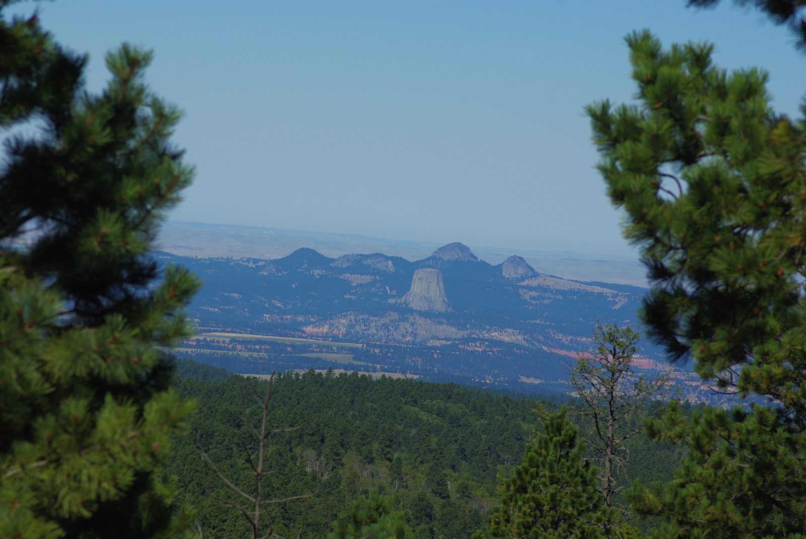
Sundance, founded in 1879, has been the Crook County seat since 1885 and had 1,032 people in 2020. South of town, Sundance Mountain, an igneous mountain, stands more than 1,000 feet higher than the valleys at its foot. WyoHistory, the Wyoming State Historical Society's online encyclopedia, says the mountain was named for ceremonies held on it, a sacred site, and the town for the mountain; a Wyoming State Library entry names the Sun Dance; the ceremony itself is on The Sun Dance. Harry Longabaugh, held in the Crook County jail in Sundance from about 1887 to 1889 for stealing a horse, saddle and gun, took his nickname, the Sundance Kid, from his time there (his story).
Down the Belle Fourche to Devils Tower
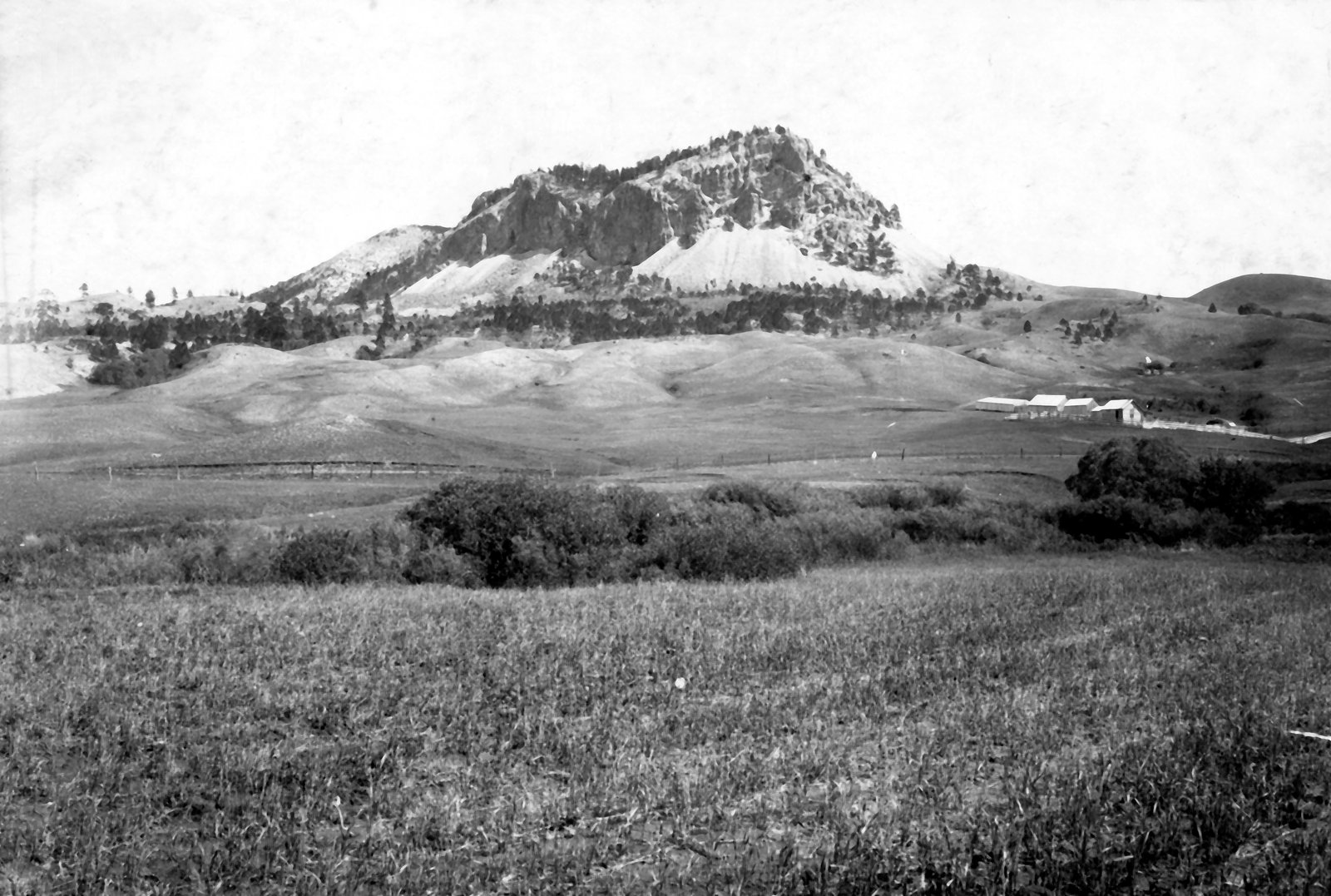
The Belle Fourche River rises in northeastern Wyoming and marks the northern edge of the Hills. The Bureau of Reclamation dammed it in 1952, about 17 miles northeast of Moorcroft, in part to send extra water downstream to the Belle Fourche irrigation project in South Dakota, and Keyhole State Park takes in its reservoir.
Cattle came long before the dam. Texas herds reached northeastern Wyoming on the Texas Trail from the late 1870s, and Moorcroft, founded when the Burlington railroad crossed the area in 1890 and 1891, became a shipping point for the region's cattle (see the open range). WyoHistory calls 1890s Moorcroft the nation's biggest cattle-shipping point but gives no figures to support it. The town had 946 people in 2020.
Downstream, Devils Tower rises 867 feet from its base. Chief Dull Knife College's Cheyenne dictionary records its Cheyenne name, Náhkȯheome, which like several tribal names for the Tower means Bear Lodge. In 2015 the National Congress of American Indians, an organization of tribal governments, asked that the monument be renamed Bear Lodge National Monument; its resolution said Indigenous people had called the present name "offensive, insulting, and disparaging" for more than a century. President Theodore Roosevelt had proclaimed Devils Tower the first national monument on September 24, 1906. More than 20 tribes hold the Tower sacred, the National Park Service says, and each June it asks climbers to stay off the Tower voluntarily, out of respect for those tribes, as Sacred Sites explains.
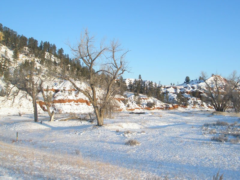
Hulett, 9 miles north of the Tower, had 309 people in 2020. The Neiman family's sawmill there still ran on national forest timber in 2014, WyoHistory reported; the company says its first mill opened at Upton in 1936. In 2005 Crook County supplied 58 percent of Wyoming's timber (more on Logging the Ponderosa). North of Aladdin, the Belle Fourche crosses into South Dakota at the lowest point in Wyoming, 3,125 feet above sea level, WyoHistory notes.
Inyan Kara and Newcastle on the Southern Edge
Between Sundance and Newcastle, Inyan Kara Mountain rises alone to 6,368 feet, on national forest land. Like Devils Tower and the Bear Lodge Mountains, the mountain lay west of the Great Sioux Reservation that the 1868 treaty set apart, in country the treaty called "unceded Indian Territory" and closed to white settlement; the 1876 agreement, made law by the 1877 Act, took that territory and the tribes' hunting rights there (see the taking of the Hills).
The Lakota regarded Custer's 1874 expedition as itself a violation of the 1868 treaty, as the Supreme Court recounted in 1980. On July 23, 1874, Custer, his staff, the expedition's scientists and a reporter left their cavalry escort at the foot of Inyan Kara and climbed it. One of the scientists, A.B. Donaldson, wrote of a horseshoe-shaped ridge, mostly under pine, curving around an inner peak where almost nothing grew. The party chiseled "'74 Custer" into the summit rock, and the 1971 nomination said the inscription could still be seen (more on the expedition).
Newcastle, the largest of these towns with 3,374 people in 2020, sits on the fringe of the Hills. It began in 1889 as a Chicago, Burlington and Quincy Railroad town, and WyoHistory says J.H. Hemingway, superintendent of the Cambria coal company, named it after his hometown, the English coal port of Newcastle upon Tyne. The oil boom came later: a gusher near Osage in March 1920, and a refinery on Newcastle's Main Street in 1927.
Ghost Towns on Both Sides of the State Line
The region's two ghost towns lie on opposite sides of the state line. On the Wyoming side, coal is what brought the Burlington. WyoHistory says its crews finished a branch line of about 7 miles, north from Newcastle to Cambria, by December 1, 1889; the Cambria Casino's 1980 National Register nomination has the first coal ready to ship on December 4. By the nomination's account, the Burlington burned about 85 percent of the mines' output in its own engines, and the mines shut for good in the late 1920s. By the early 1930s Cambria was a ghost town. The company's sandstone memorial to its miners, the Cambria Casino, is on the National Register of Historic Places.
The other ghost town here, Tinton, is in South Dakota: a 1941 U.S. Geological Survey report placed it in western Lawrence County, less than a mile from the Wyoming line. Tin ore turned up soon after 1876 in the gold placers prospectors worked there. SDPB says a tin company built the town between 1902 and 1904, though the 1941 report dates the camp then standing to 1927 and 1928. Tinton also belongs to the Northern Hills. Its mill burned in 1953, and the last resident left in 1959, SDPB reports.
Connected
- Sundance, WyomingThe Crook County seat below Sundance Mountain and the Bear Lodge Mountains.
- Newcastle, WyomingThe railroad town that grew from the Cambria coal field.
- Hulett, WyomingThe sawmill town 9 miles north of Devils Tower.
- Moorcroft, WyomingThe Burlington's cattle-shipping town west of the Hills.
- Devils Tower National MonumentVisiting the Tower: its trails, and climbing outside June.
- Cambria, WyomingThe company coal town north of Newcastle that fueled the Burlington.
- Tinton, South DakotaThe tin camp less than a mile from the Wyoming line.
- Devils Tower, Bear Butte and the Igneous Rocks of the HillsHow Devils Tower, Inyan Kara and the Bear Lodge Mountains formed.
- Sacred Sites: Bear Butte, Devils Tower and Wind CaveWhat Devils Tower means to the tribes, and the June climbing closure.
- How the Black Hills FormedThe rings of rock the Wyoming side shares with the rest of the Hills.
- The Open Range and the Cattle DrivesThe Texas herds and big cattle outfits of Crook County.
- Logging the PonderosaThe Black Hills timber industry, including the Neiman mills.
Sources
- In Support of the Name Bear Lodge National Monument (Currently "Devils Tower"), Resolution SD-15-001. National Congress of American Indians, 2015.
- Cheyenne Dictionary, English to Cheyenne, letter D. Chief Dull Knife College.
- Cheyenne Dictionary, English to Cheyenne, letter B. Chief Dull Knife College.
- Devils Tower: Proposals to Change the Name. National Park Service, Devils Tower National Monument, 2025.
- Climbing Information. National Park Service, Devils Tower National Monument.
- Directions and Transportation. National Park Service, Devils Tower National Monument.
- Protecting Public Land: Frank Mondell, Theodore Roosevelt and Devils Tower National Monument, by Lucas Fralick. WyoHistory.org, Wyoming State Historical Society, 2023.
- Crook County, Wyoming, by Nicole Lebsack. WyoHistory.org, Wyoming State Historical Society, 2014.
- Weston County, Wyoming, by Nicole Lebsack. WyoHistory.org, Wyoming State Historical Society, 2014.
- Newcastle, Wyoming, by Nicole Lebsack. WyoHistory.org, Wyoming State Historical Society, 2014.
- Sundance Folio, Wyoming-South Dakota (Geologic Atlas of the United States, Folio 127), by N.H. Darton. U.S. Geological Survey, 1905.
- Bearlodge Ranger District. USDA Forest Service, Black Hills National Forest.
- National Register of Historic Places Inventory-Nomination Form: Inyan Kara Mountain. Wyoming Recreation Commission for the National Park Service, 1971.
- National Register of Historic Places Inventory-Nomination Form: Cambria Casino (Flying V Guest Ranch). National Park Service, 1980.
- Keyhole Unit, Pick-Sloan Missouri Basin Program. U.S. Bureau of Reclamation.
- About Keyhole State Park. Wyoming State Parks, Historic Sites and Trails.
- Neiman Enterprises (the company's own account). Neiman Enterprises.
- Treaty of Fort Laramie (1868), transcript. National Archives.
- Agreement with the Sioux, Arapaho and Northern Cheyenne, 1876. Tribal Treaties Database, Oklahoma State University Libraries.
- United States v. Sioux Nation of Indians, 448 U.S. 371. Supreme Court of the United States, 1980 (Legal Information Institute, Cornell Law School).
- Tin-Bearing Pegmatites of the Tinton District, Lawrence County, South Dakota (Bulletin 922-T), by Ward C. Smith and Lincoln R. Page. U.S. Geological Survey, 1941.
- Ghost Towns of South Dakota: Tinton, by Michael Zimny. SDPB, 2018.
- Sundance (Wyoming place names). Wyoming State Library, Digital Collection Suite.
Last reviewed: