Connections
The Rally and Bear Butte
On July 4, 2006, about 200 people pitched tents between Bear Butte and a nearby campground, ICT reported, meaning to stay until three days before that year's Sturgis Motorcycle Rally. "We have to stand up for our traditional ways," Bernard Red Cherries, a chief of the Cheyenne Elk Society, said there. The camp was one stand in a long fight, on the record in the U.S. Senate by 2003, over what could be built near a mountain sacred to many tribes: a shooting range, then bars, campgrounds and concert grounds. Most of it was meant for the rally's crowds.
Why Does the Rally Reach Bear Butte?
The rally long ago spread beyond its town. Its first race, on August 14, 1938, was run on a dirt track in Sturgis; now it fills the northern Hills for 10 days each August. Coverage of the dispute spoke of 500,000 to 650,000 bikers, but such figures are estimates. The state's road counters tally vehicles, not people: 458,000 of them in 2023, SDPB reported.
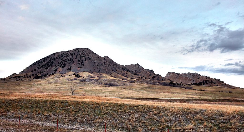
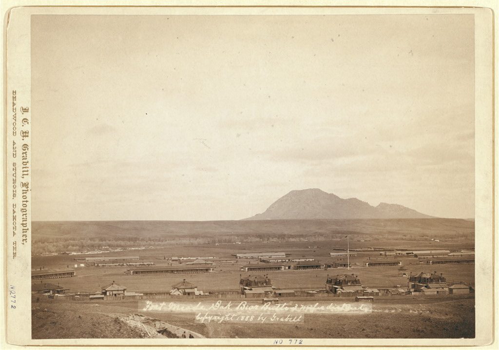
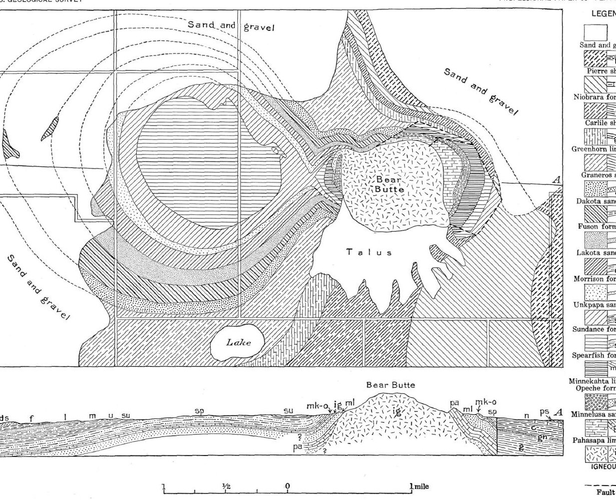
Bear Butte stands about 6 miles northeast of Sturgis, inside a state park, and is a National Historic Landmark. Its Lakota name is Mahto Paha (or Paha Mahto); its Cheyenne name, Nóávóse. As the rally grew, businesses serving it moved closer: by 2008 ICT counted 10 near the site, chiefly bars and campgrounds, most of them opened within the previous several years.
Timing makes the two collide. Charmaine White Face, who coordinated the Defenders of the Black Hills, began her testimony to a Senate committee on June 18, 2003, by naming herself Oglala Lakota. August, she said, is when many of her people's vision quests are meant to happen, and it is also the rally's month; a drag strip can be heard "miles and miles away." Her people still regard the ground around the butte as treaty land, she said; the 1877 Act took it from the tribes without the consent the 1868 treaty required.
A Shooting Range and a Federal Grant
The first fight was over a shooting range. At the same hearing Steve Brady Sr., a headsman of the Northern Cheyenne Crazy Dogs Society, said federal housing officials had acted without consulting his tribe, and White Face said her group had heard nothing in advance of the range's federal grant.
The city of Sturgis and its industrial development corporation had planned a rifle range, which Senator Tim Johnson placed 4.5 miles north of the butte, and the city won an $825,000 federal Community Development Block Grant. In February 2003 several tribes and the Defenders sued, and a federal judge, citing religious-freedom laws, blocked further payments. In June 2003 the Department of Housing and Urban Development found that the range met none of the grant program's objectives, and that September the state canceled the grant. In January 2004 the development corporation quit, telling the court that without the money, going ahead was "impractical and unfeasible."
The tribes never won a final judgment. Ruling on legal fees in January 2006, the Eighth Circuit Court of Appeals held that the range had died through the housing department's own grant review, for reasons unrelated to the merits of their claims, and the decision by the city and its partners to quit.
Bars, Licenses and the County Commission
Then came the bars. Alex White Plume, then acting president of the Oglala Sioux Tribe, said ceremonies at the butte require silence, and he likened a bar and concert hall beside it to a powwow held outside a synagogue during prayer, The Nation reported in June 2006. Ann White Hat, a Brulé Lakota woman living at the butte's foot on Rosebud Sioux Tribe land, said in 2007 that county commissioners had never contacted her or the tribes.
In 2006 the Meade County Commission approved licenses for two new bars near the butte. One served a 600-acre biker venue planned by an Arizona businessman with a chain of biker bars; it won a beer license unanimously in April and a liquor license in June. Commissioner Bob Mallow put the site about 2.5 miles from the butte, said nobody from the area had objected, and added: "The location is fine with us." By July, ICT reported, county ranchers were backing efforts to stop new biker bars. The developer said through a spokeswoman that the tribes had twice passed up chances to buy the land. When opponents petitioned for a public vote, the commission refused, calling the license an administrative decision, and a circuit judge sided with the county; the petitioners appealed to the state Supreme Court in January 2007.
Buffer Zones That Never Passed
Opponents of the bars asked the Legislature for a no-liquor zone around the butte, without success. On January 31, 2006, the House Local Government Committee voted 9 to 3 against a 4-mile buffer, with supporters citing religious rights and opponents property rights. On February 13, 2007, the same committee shelved House Bill 1227, a 4-mile limit on liquor licenses, by 11 to 2. "The Butte means so much to the people," Representative Jim Bradford, a Democrat from Pine Ridge, told the committee as he presented it. Dean Wink, chairman of the Meade County Commission, told the State Affairs Committee that the buffer idea was an attempt to bypass the county's elected officials. One unnamed opponent predicted that land values would fall 90 percent; ICT's report gives no basis for the figure.
A. Gay Kingman, a Cheyenne River Sioux Tribe member who directed the Great Plains Tribal Chairman's Association, spoke in 2008 of a 5-mile buffer that had failed that year. "The tribes would have been supportive," she said, but it reached into Sturgis; 3 or 4 miles would have been easier to accept. That July the association, 16 tribal chairmen, adopted a resolution to protect the butte.
Tribes on the Land, and a Split Over a Campground
Some tribes bought land instead. By 2008 the Northern Cheyenne, Rosebud Sioux and Lower Brule Sioux tribes each held land along the butte's edge, ICT reported. In May 2014 the Northern Cheyenne president, Llevando Fisher, backed a bill to place the 635 acres the tribe owns next to the state park in federal trust, which he said "will ensure their protection from commercial development." The Bear Butte part of the bill was later dropped, Native Sun News reported in 2015, because only the Rosebud Sioux Tribe had formally supported it. The Rosebud Sioux Tribe's lodge there allows biker tourism only if it is free of drugs and alcohol. By 2015 the county commission's chairman, Alan Aker, said the county was no longer approving liquor licenses near the butte.
The sharpest split came within one tribe. A 2015 Northern Cheyenne council resolution had barred commercial development on the tribe's 40-acre campground at the butte, citing its ceremonial and spiritual way of life. In 2016 a council majority voted to undo it so that the campground could host bikers during the rally, free of drugs and alcohol. Tribal members filled a meeting hall and opposed the plan unanimously, Native Sun News reported, and Vice President Winfield Russell, the only council member to vote against it, said he had not known about it beforehand. As of that August 2016 report, the change still needed the tribal president's signature and the approval of the Bureau of Indian Affairs.
Connected
- The Sturgis Motorcycle RallyHow a 1938 race grew into the August crowds that reach the butte.
- Sturgis, South DakotaThe town whose rifle range set off the first fight.
- Bear Butte and the Plains EdgeThe butte, its state park and the prairie around it.
- Sacred Sites: Bear Butte, Devils Tower and Wind CaveWhat Bear Butte means to the tribes who pray there.
- The 1876 War and the Taking of the HillsHow the 1877 Act took the Hills, Bear Butte among them.
Further reading
- Statement of Llevando "Cowboy" Fisher, President, Northern Cheyenne Tribe, on H.R. 4350, Northern Cheyenne Tribe (the tribe's land beside the state park and its aim of shielding the butte from commercial development, 2014)
- Native American Sacred Places, U.S. Senate Committee on Indian Affairs (testimony of Charmaine White Face and Steve Brady Sr. on the shooting range and building near Bear Butte, 2003)
- Nations Gather to Protect Sacred Site, ICT (Lakota and Cheyenne voices from the 2006 camp at the butte)
- Bear Butte: Battle to Put the Lands in Trust, Native Sun News, republished by Indianz (Northern Cheyenne and Rosebud Sioux land at the butte, 2015)
Sources
- Native American Sacred Places (S. Hrg. 108-197), hearing of June 18, 2003, with the testimony of Charmaine White Face and Steve Brady Sr. and the prepared statement of Senator Tim Johnson. U.S. Senate Committee on Indian Affairs, 2003.
- Statement of Llevando "Cowboy" Fisher, President, Northern Cheyenne Tribe, on H.R. 4350, the Northern Cheyenne Lands Act. Northern Cheyenne Tribe, before the House Committee on Natural Resources, 2014.
- Northern Cheyenne Tribe v. Jackson, No. 04-4145. U.S. Court of Appeals for the Eighth Circuit, 2006.
- Plans for Shooting Range Near Sacred Site Scrapped. Indianz, 2004.
- Nations Gather to Protect Sacred Site (David Melmer). ICT, 2006.
- Biker Mecca on Sacred Ground (Anne Keala Kelly). The Nation, 2006.
- Bill to Create Buffer Zone Around Bear Butte Killed (from the Rapid City Journal). Indianz, 2006.
- Bear Butte Liquor License Dispute Headed for State Supreme Court (David Melmer). ICT, 2007.
- Bill to Ban New Bars Near Bear Butte Considered (from the Associated Press and the Sioux Falls Argus Leader). Indianz, 2007.
- Minutes, House Local Government Committee, February 13, 2007 (HB 1227). South Dakota Legislature, 82nd Legislative Session, 2007.
- Bill Banning Liquor Sales Near Bear Butte Killed Again (David Melmer). ICT, 2007.
- Great Plains Tribal Chairman's Association Approves Bear Butte Resolution (Babette Herrmann). ICT, 2008.
- Bear Butte: Battle to Put the Lands in Trust (Clara Caufield). Native Sun News, republished by Indianz, 2015.
- Northern Cheyenne Tribe Faces Fire Over Plans for Bear Butte Campground (Clara Caufield). Native Sun News, republished by Indianz, 2016.
- Northern Cheyenne Tribe Sends Crew to Protect Sacred Bear Butte. Indianz, 2016.
- 2023 Sturgis Rally Data Points to Average Attendance (C.J. Keene). South Dakota Public Broadcasting, 2023.
- Bear Butte State Park. South Dakota Game, Fish and Parks.
Last reviewed: